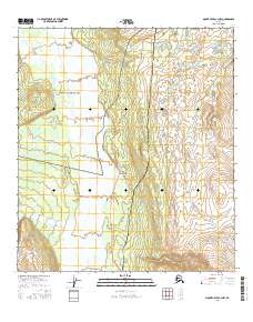
2016 Map of Mount Hayes C-4 NW
USGS Topo · Published 2016About this map
Fort Greely dominates the northern landscape of this interior Alaskan quadrangle, situated where the high-altitude terrain meets the braided channels of the Delta River. This 2016 survey documents a critical infrastructure corridor through the Tanana Valley, where the Richardson Highway and the Alaska Pipeline run parallel through the mountain foothills. Near the center of the sheet, the settlement of Donnelly serves as a waypoint along these transit lines. The topography transitions from the river's alluvial flats to the prominent heights of Buffalo Dome in the northwest. Several drainages, including Ruby Creek, Sargent Cr, and Ober Cr, cut through the eastern uplands, illustrating the complex hydrology of the region as it feeds into the larger river system. The map provides a precise view of the federal and military land management during this decade.
Find a feature on this map
16 named features on this map. Tap any name to fly to it.
Don’t see what you’re looking for? This feature index may not catch every label — zoom into the map to look around manually.
Map Details
Editions of this 2016 Mount Hayes C-4 NW Map
This is the sole edition of this map. No revisions or reprints were ever made.
Other maps of this area

1950 · Mount Hayes
USGS Topo · 1:250,000

1950 · Mount Hayes D-4
USGS Topo · 1:63,360

1950 · Mount Hayes C-4
USGS Topo · 1:63,360

1950 · Mount Hayes D-5
USGS Topo · 1:63,360

1951 · Mount Hayes
USGS Topo · 1:250,000

1951 · Mount Hayes C-5
USGS Topo · 1:63,360

1952 · Mount Hayes D-5
USGS Topo · 1:63,360

1952 · Mount Hayes D-4
USGS Topo · 1:63,360

1952 · Mount Hayes C-4
USGS Topo · 1:63,360

1955 · Mount Hayes
USGS Topo · 1:250,000