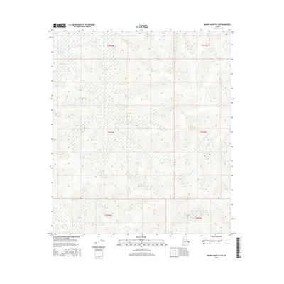
2016 Map of Mount Hayes D-1 NW
USGS Topo · Published 2016About this map
The interior of Alaska's Unorganized Borough is defined by this grid-based survey of a high-altitude wilderness. The landscape is structured by the Public Land Survey System (PLSS) boundaries, including T26n R5e, T26n R6e, T25n R5e, T25n R6e, T24n R5e, and T24n R6e. This 2016 topographic study reveals a terrain of significant elevation changes and complex drainage patterns, though it is notably devoid of human-named landmarks or settlements. The map's detail provides a specialized record of the natural topography and wetland distribution in this specific portion of the Mount Hayes region, serving as a baseline for environmental and geographic study in a part of the state where traditional naming conventions have yet to be applied to the peaks and valleys.
Find a feature on this map
6 named features on this map. Tap any name to fly to it.
Don’t see what you’re looking for? This feature index may not catch every label — zoom into the map to look around manually.
Map Details
Editions of this 2016 Mount Hayes D-1 NW Map
This is the sole edition of this map. No revisions or reprints were ever made.
Other maps of this area

1950 · Mount Hayes
USGS Topo · 1:250,000

1950 · Big Delta
USGS Topo · 1:250,000

1951 · Big Delta
USGS Topo · 1:250,000

1951 · Mount Hayes
USGS Topo · 1:250,000

1954 · Mount Hayes D-2
USGS Topo · 1:63,360

1954 · Mount Hayes D-1
USGS Topo · 1:63,360

1954 · Big Delta A-2
USGS Topo · 1:63,360

1955 · Big Delta A-1
USGS Topo · 1:63,360

1955 · Big Delta A-2
USGS Topo · 1:63,360

1955 · Mount Hayes D-2
USGS Topo · 1:63,360