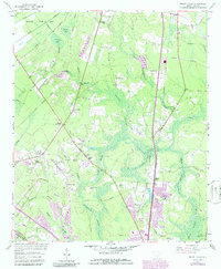
1957 Map of Mount Holly
USGS Topo · Published 1986About this map
The low-lying swamplands of Berkeley County define the landscape of this 1957 survey, where a network of water bodies like Sophia Swamp and Dash Swamp weave through pine woods and timber tracts. The Seaboard Coast Line serves as a central spine for the region's transport, connecting smaller rural clusters like Strawberry and Oakley. This era captures the transition between traditional agrarian settlements and mid-century shifts, evidenced by the development of Mount Holly and the expanding footprint of the Goose Creek area near the US Naval Reservation.
Find a feature on this map
52 named features on this map. Tap any name to fly to it.
Don’t see what you’re looking for? This feature index may not catch every label — zoom into the map to look around manually.
Map Details
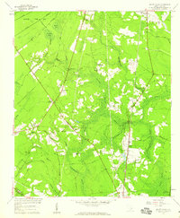
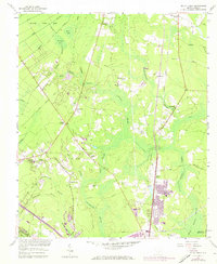
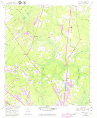
Editions of this 1957 Mount Holly Map
4 editions found
Other maps of this area

1919 · Ladson
USGS Topo · 1:21,120

1919 · Summerville
USGS Topo · 1:48,000

1919 · Cordesville
USGS Topo · 1:48,000

1919 · Melgrove
USGS Topo · 1:21,120

1920 · Ravenels
USGS Topo · 1:62,500

1920 · Summerville
USGS Topo · 1:62,500

1940 · Melgrove
USGS Topo · 1:24,000

1943 · Ladson
USGS Topo · 1:24,000

1944 · Ravenels
USGS Topo · 1:62,500

1944 · Summerville
USGS Topo · 1:62,500