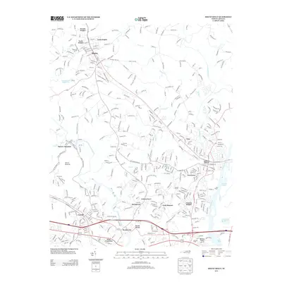
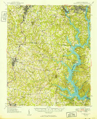
2013 Map of Mount Holly
USGS Topo · Published 2013About this map
S Fork Catawba River and the Catawba River converge in this transition zone between the Piedmont and the burgeoning Charlotte metropolitan area. The landscape is defined by a network of established towns and industrial-era settlements, including the textiles-linked McAdenville and the elevated terrain of Spencer Mountain. Significant infrastructure, such as the Piedmont and Northern Railway and the I-85 corridor, cuts across the topography, illustrating the region's role as a major transportation hub.
Find a feature on this map
42 named features on this map. Tap any name to fly to it.
Don’t see what you’re looking for? This feature index may not catch every label — zoom into the map to look around manually.
Map Details
Editions of this 2013 Mount Holly Map
This is the sole edition of this map. No revisions or reprints were ever made.
Other maps of this area
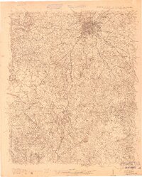
1905 · Charlotte
USGS Topo · 1:48,000
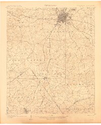
1907 · Charlotte
USGS Topo · 1:62,500
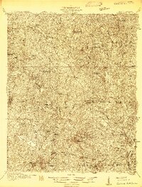
1914 · Gastonia
USGS Topo · 1:48,000
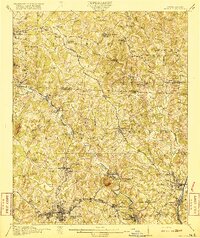
1916 · Gastonia
USGS Topo · 1:62,500

1941 · Charlotte
USGS Topo · 1:125,000

1942 · Charlotte
USGS Topo · 1:125,000
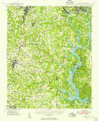
1947 · Clover
USGS Topo · 1:62,500
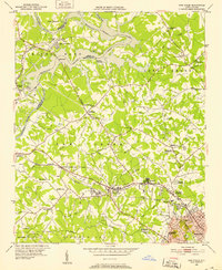
1948 · Paw Creek
USGS Topo · 1:24,000
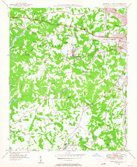
1948 · Charlotte West
USGS Topo · 1:24,000
1949 · Clover
USGS Topo · 1:62,500