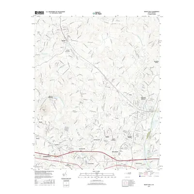
2016 Map of Mount Holly
USGS Topo · Published 2016About this map
The South Fork Catawba River and the main channel of the Catawba River define this industrial and residential corridor on the border of Gaston and Mecklenburg counties. The landscape is marked by several textile-era settlements including McAdenville, Cramerton, and Mount Holly, while the prominent Spencer Mtn rises above the valley to the west. Local history is deeply rooted in the area's religious and educational foundations, visible through landmarks like Belmont Abbey Coll and the nearby Belmont Abbey Cem. Small family and community burying grounds such as Mauney Cem and Hickory Grove Cem are scattered among the growing suburban developments of Stanley and Lowell. The presence of Aviary Gardens and several managed water bodies like McAdenville Lake and Rowland Lake Number One highlight the managed recreational and industrial water use that has long shaped the region's development.
Find a feature on this map
281 named features on this map. Tap any name to fly to it.
Don’t see what you’re looking for? This feature index may not catch every label — zoom into the map to look around manually.
Map Details
Editions of this 2016 Mount Holly Map
This is the sole edition of this map. No revisions or reprints were ever made.
Other maps of this area

1905 · Charlotte
USGS Topo · 1:48,000

1907 · Charlotte
USGS Topo · 1:62,500

1914 · Gastonia
USGS Topo · 1:48,000

1916 · Gastonia
USGS Topo · 1:62,500

1941 · Charlotte
USGS Topo · 1:125,000

1942 · Charlotte
USGS Topo · 1:125,000

1947 · Clover
USGS Topo · 1:62,500

1948 · Paw Creek
USGS Topo · 1:24,000

1948 · Charlotte West
USGS Topo · 1:24,000

1949 · Clover
USGS Topo · 1:62,500