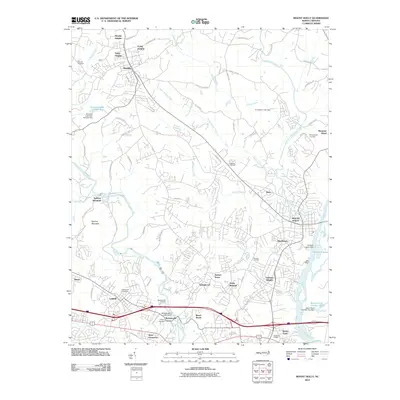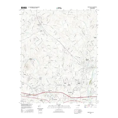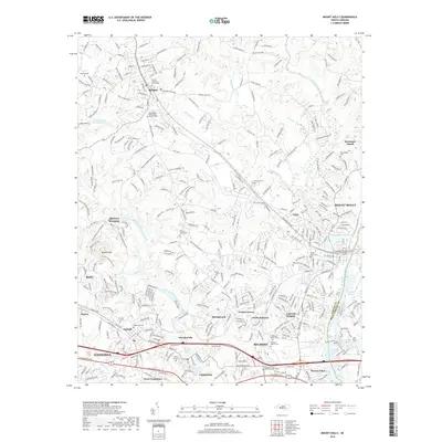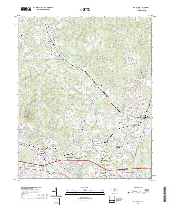
2022 Map of Mount Holly
USGS Topo · Published 2022About this map
Belmont and Mount Holly anchor this industrial and academic corridor along the border of Gaston and Mecklenburg counties. The landscape is defined by the winding course of the Catawba River and its major tributary, the South Fork Catawba River, which together frame several textile-heritage communities. The map highlights the significant campus of Belmont Abbey College and its associated Belmont Abbey Cem, alongside numerous family and church burial grounds like Mauney Cem and Hickory Grove Cem. Local topography rises to the west at Spencer Mtn, while the river lowlands are dotted with features like Aviary Gardens and Sodueco Lagoon. Transportation networks, including the Norfolk Southern railroad and major thoroughfares like Wilkinson Blvd, illustrate the connectivity between historic manufacturing centers like McAdenville and Cramerton and the expanding urban reach of Gastonia.
Find a feature on this map
152 named features on this map. Tap any name to fly to it.
Don’t see what you’re looking for? This feature index may not catch every label — zoom into the map to look around manually.
Map Details
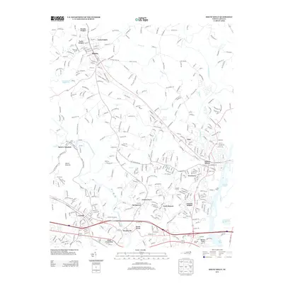
Editions of this 2022 Mount Holly Map
This is the sole edition of this map. No revisions or reprints were ever made.
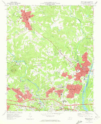
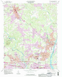
Historical Maps of Charlotte Through Time
7 maps found