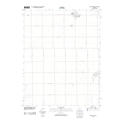
2009 Map of Mount Hope
USGS Topo · Published 2009About this map
Mount Hope and Andale anchor this rural Sedgwick County landscape, showing the organized grid of the Kansas plains in the early 21st century. The map provides precise locations for civic and community landmarks, including the Mount Hope Post Office and Mount Hope Cemetery, alongside the older Haven Cemetery at the northwestern edge of the sheet. This section of the state is defined by its agricultural layout, where arterial routes like Pretty Prairie Rd and Boundary Rd divide the vast open fields.
Find a feature on this map
30 named features on this map. Tap any name to fly to it.
Don’t see what you’re looking for? This feature index may not catch every label — zoom into the map to look around manually.
Map Details
Editions of this 2009 Mount Hope Map
This is the sole edition of this map. No revisions or reprints were ever made.
Other maps of this area

1889 · Cheney
USGS Topo · 1:125,000

1891 · Cheney
USGS Topo · 1:125,000

1901 · Cheney
USGS Topo · 1:125,000

1955 · Wichita
USGS Topo · 1:250,000

1958 · Wichita
USGS Topo · 1:250,000

1958 · Patterson
USGS Topo · 1:24,000
1958 · Bentley
USGS Topo · 1:24,000
1958 · Colwich
USGS Topo · 1:24,000

1959 · Mount Hope
USGS Topo · 1:24,000
1961 · Haven
USGS Topo · 1:24,000