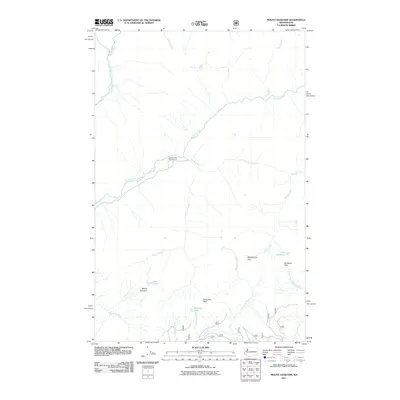
2011 Map of Mount Hoquiam
USGS Topo · Published 2011About this map
Quinault River headwaters and the drainage of the Wynoochee River dominate this high-elevation Olympic Peninsula landscape. At the center of the survey, the Graves Creek Campground serves as a base for exploring the confluence of Graves Creek and the North Fork Quinault River. The map provides a detailed view of the complex river systems that define the region, including the source of the South Fork Skokomish River near Sundown Pass.
Find a feature on this map
30 named features on this map. Tap any name to fly to it.
Don’t see what you’re looking for? This feature index may not catch every label — zoom into the map to look around manually.
Map Details
Editions of this 2011 Mount Hoquiam Map
This is the sole edition of this map. No revisions or reprints were ever made.
Other maps of this area

1921 · Satsop
USGS Topo · 1:62,500

1938 · Mt Constance
USGS Topo · 1:125,000

1947 · Mt. Steel
USGS Topo · 1:62,500

1947 · Mt Christie
USGS Topo · 1:62,500

1950 · Mt Christie
USGS Topo · 1:62,500

1950 · Mt. Steel
USGS Topo · 1:62,500

1953 · Mt Tebo
USGS Topo · 1:62,500

1955 · Grisdale
USGS Topo · 1:62,500

1958 · Seattle
USGS Topo · 1:250,000

1962 · Seattle
USGS Topo · 1:250,000