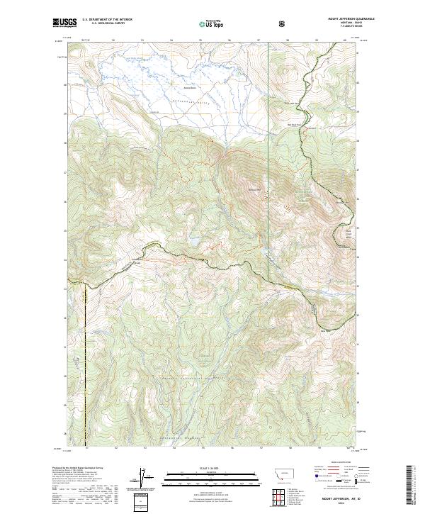
2024 Map of Mount Jefferson
USGS Topo · Published 2024About this map
The Montana-Idaho state line divides this high-altitude landscape where the Beaverhead National Forest meets the Targhee National Forest. The northern reach is dominated by the Centennial Valley and the expansive wetlands of the Red Rock Lakes National Wildlife Refuge, where Red Rock Creek flows through the Alaska Basin. A network of unpaved roads, including S Valley Rd and Southside Centennial Rd, provides access to the remote backcountry near Red Rock Pass.
Find a feature on this map
53 named features on this map. Tap any name to fly to it.
Don’t see what you’re looking for? This feature index may not catch every label — zoom into the map to look around manually.
Map Details
Editions of this 2024 Mount Jefferson Map
This is the sole edition of this map. No revisions or reprints were ever made.
Other maps of this area

1950 · Upper Red Rock Lake
USGS Topo · 1:62,500

1955 · Ashton
USGS Topo · 1:250,000

1958 · Ashton
USGS Topo · 1:250,000

1960 · Ashton
USGS Topo · 1:250,000

1964 · Island Park Dam
USGS Topo · 1:24,000

1964 · Targhee Peak
USGS Topo · 1:24,000

1964 · Sawtell PK
USGS Topo · 1:24,000

1964 · Henrys Lake
USGS Topo · 1:62,500
1965 · Icehouse Creek
USGS Topo · 1:24,000

1965 · Sheridan Reservoir
USGS Topo · 1:24,000