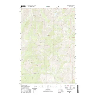
2017 Map of Mount Jordan
USGS Topo · Published 2017About this map
Mt Jordan and Red Mtn anchor this high-altitude landscape in Custer County, situated within the expansive Challis National Forest. This terrain is defined by its complex drainage systems, where small alpine basins hold Mystery Lake and Lightning Lake. These headwaters feed a network of steep streams including China Creek and Lightning Creek, which eventually contribute to the larger flow of the Westfork Yankee Fork in the southern portion of the quadrangle.
Find a feature on this map
22 named features on this map. Tap any name to fly to it.
Don’t see what you’re looking for? This feature index may not catch every label — zoom into the map to look around manually.
Map Details
Editions of this 2017 Mount Jordan Map
This is the sole edition of this map. No revisions or reprints were ever made.
Other maps of this area

1919 · Custer
USGS Topo · 1:125,000

1922 · Custer
USGS Topo · 1:125,000

1930 · Casto
USGS Topo · 1:125,000

1957 · Challis
USGS Topo · 1:250,000

1960 · Challis
USGS Topo · 1:250,000

1963 · Challis
USGS Topo · 1:250,000

1963 · Pinyon Peak
USGS Topo · 1:24,000

1963 · Custer
USGS Topo · 1:24,000

1963 · Casto
USGS Topo · 1:24,000

1963 · Basin Butte
USGS Topo · 1:24,000