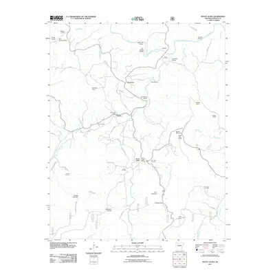
2011 Map of Mount Judea
USGS Topo · Published 2011About this map
Mount Judea sits at the heart of this Newton County landscape, where the Big Creek valley intersects with a complex network of local roads such as County Rd-41 and City Road 41. The 2011 survey reveals a deeply dissected terrain characterized by named hollows and peaks, including North Pole Knob and Ricketts Mountain. Historically significant points like the Mount Judea Post Office and Vendor Post Office anchor the small settlements, while a high concentration of burial grounds—including Mont Judea Cemetery, Sexton Cemetery, and McCutchen Cemetery—provides a detailed record of local family history and community centers.
Find a feature on this map
69 named features on this map. Tap any name to fly to it.
Don’t see what you’re looking for? This feature index may not catch every label — zoom into the map to look around manually.
Map Details
Editions of this 2011 Mount Judea Map
This is the sole edition of this map. No revisions or reprints were ever made.
Other maps of this area

1892 · Marshall
USGS Topo · 1:125,000

1893 · Yellville
USGS Topo · 1:125,000

1894 · Marshall
USGS Topo · 1:125,000

1901 · Marshall
USGS Topo · 1:125,000

1903 · Yellville
USGS Topo · 1:125,000

1904 · Harrison
USGS Topo · 1:125,000

1905 · Harrison
USGS Topo · 1:125,000

1905 · Yellville
USGS Topo · 1:125,000

1929 · Yellville
USGS Topo · 1:125,000

1933 · Mt Judea
USGS Topo · 1:62,500