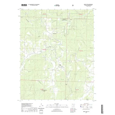
2020 Map of Mount Judea
USGS Topo · Published 2020About this map
Mount Judea sits at a geographic crossroads in Newton County, where the steep topography of Judea Mtn and George Mtn meets the deep drainage of Big Creek. This 2020 survey documents a landscape defined by small valley settlements like Piercetown, Vendor, and Carver, which follow the winding routes of the Buffalo National River and its tributaries. The distribution of small family burial grounds, including the Mont Judea Cem and Sexton Cem, indicates a long-standing pattern of localized mountain communities.
Find a feature on this map
90 named features on this map. Tap any name to fly to it.
Don’t see what you’re looking for? This feature index may not catch every label — zoom into the map to look around manually.
Map Details
Editions of this 2020 Mount Judea Map
This is the sole edition of this map. No revisions or reprints were ever made.
Other maps of this area

1892 · Marshall
USGS Topo · 1:125,000

1893 · Yellville
USGS Topo · 1:125,000

1894 · Marshall
USGS Topo · 1:125,000

1901 · Marshall
USGS Topo · 1:125,000

1903 · Yellville
USGS Topo · 1:125,000

1904 · Harrison
USGS Topo · 1:125,000

1905 · Harrison
USGS Topo · 1:125,000

1905 · Yellville
USGS Topo · 1:125,000

1929 · Yellville
USGS Topo · 1:125,000

1933 · Mt Judea
USGS Topo · 1:62,500