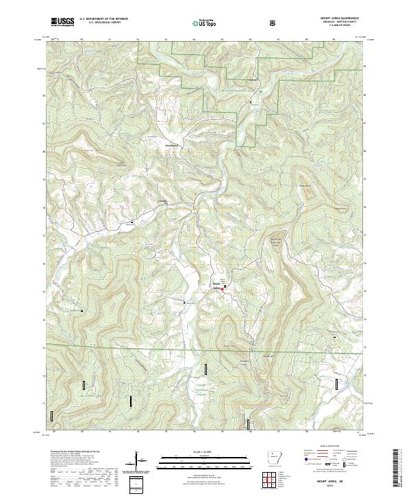
2024 Map of Mount Judea
USGS Topo · Published 2024About this map
Mount Judea sits within a deeply dissected plateau where the Buffalo National River winds through the northern reaches of the Ozarks. This 2024 survey captures the intricate network of family and community landmarks that define Newton County, from the high vantage point of Judea Mtn to the narrow valleys of Sheldon Branch and Big Creek. The map serves as a vital record for genealogists, documenting the precise locations of rural burial grounds including Sexton Cem, McCutchen Cem, and Ricketts Cem. Small settlements like Vendor and Piercetown are connected by a web of county roads that navigate a landscape of distinctive landforms, such as North Pole Knob and Red Rock Point. The transition from the protected river corridor to the southern reaches of the Ozark National Forest highlights the area's enduring rural character and the persistence of naming traditions in hollows like Rough Hollow and Stillhouse Hollow.
Find a feature on this map
91 named features on this map. Tap any name to fly to it.
Don’t see what you’re looking for? This feature index may not catch every label — zoom into the map to look around manually.
Map Details
Editions of this 2024 Mount Judea Map
This is the sole edition of this map. No revisions or reprints were ever made.
Other maps of this area

1892 · Marshall
USGS Topo · 1:125,000

1893 · Yellville
USGS Topo · 1:125,000

1894 · Marshall
USGS Topo · 1:125,000

1901 · Marshall
USGS Topo · 1:125,000

1903 · Yellville
USGS Topo · 1:125,000

1904 · Harrison
USGS Topo · 1:125,000

1905 · Harrison
USGS Topo · 1:125,000

1905 · Yellville
USGS Topo · 1:125,000

1929 · Yellville
USGS Topo · 1:125,000

1933 · Mt Judea
USGS Topo · 1:62,500