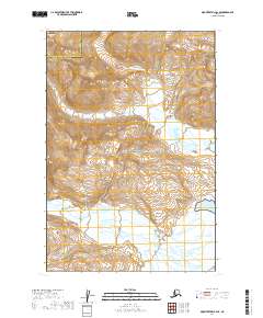
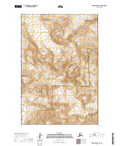
2019 Map of Mount Katmai B-2 SE
USGS Topo · Published 2019About this map
The vast protected wilderness of Katmai National Park dominates this terrain, where the high-altitude landscape is shaped by the presence of the Serpent Tongue Glacier. This 2019 survey captures a remote coastal interface along the eastern reaches of the Alaska Peninsula, specifically where the shore meets the waters of Kukak Bay. The geography is defined by significant elevation changes, with the glacier flowing from the northwestern heights toward the lower coastal plains. Administrative boundaries are also clearly delineated, marking the jurisdictional line between the Lake and Peninsula Borough and the Kodiak Island Borough. This map provides a detailed topographic record of a region largely untouched by development, focusing on natural features and land-surveying grids like t21s r32w and t22s r31w.
Find a feature on this map
9 named features on this map. Tap any name to fly to it.
Don’t see what you’re looking for? This feature index may not catch every label — zoom into the map to look around manually.
Map Details
Editions of this 2019 Mount Katmai B-2 SE Map
This is the sole edition of this map. No revisions or reprints were ever made.
Other maps of this area

1948 · Mt Katmai
USGS Topo · 1:250,000

1951 · Mt Katmai
USGS Topo · 1:250,000

1951 · Mount Katmai A-2
USGS Topo · 1:63,360
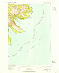
1951 · Mount Katmai A-1
USGS Topo · 1:63,360

1951 · Mount Katmai B-1
USGS Topo · 1:63,360

1951 · Mount Katmai B-2
USGS Topo · 1:63,360

1964 · Mt. Katmai
USGS Topo · 1:250,000
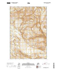
2019 · Mount Katmai B-2 NW
USGS Topo · 1:25,000
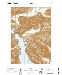
2019 · Mount Katmai A-2 NE
USGS Topo · 1:25,000
2019 · Mount Katmai B-2 NE
USGS Topo · 1:25,000