
2019 Map of Mount Katmai B-5 SE
USGS Topo · Published 2019About this map
Katmai National Park encompasses this volcanic landscape, defined by the geological aftermath of the 1912 Novarupta eruption. The topographic record highlights the Valley of Ten Thousand Smokes, where the drainage of the River Lethe and Knife Cr cuts through deep ash deposits at the foot of the Buttress Range. Access to this remote wilderness is traced via the Valley of Ten Thousand Smokes Road, which terminates near the Ukak River Trail. Further south, the map details the headwaters of Windy Cr and its accompanying Windy Creek Trail, illustrating the intersection of modern park infrastructure and the dramatic, shifting terrain of the Aleutian Range.
Find a feature on this map
14 named features on this map. Tap any name to fly to it.
Don’t see what you’re looking for? This feature index may not catch every label — zoom into the map to look around manually.
Map Details
Editions of this 2019 Mount Katmai B-5 SE Map
This is the sole edition of this map. No revisions or reprints were ever made.
Other maps of this area

1948 · Mt Katmai
USGS Topo · 1:250,000

1951 · Mt Katmai
USGS Topo · 1:250,000

1951 · Mount Katmai B-4
USGS Topo · 1:63,360

1951 · Mount Katmai A-4
USGS Topo · 1:63,360

1951 · Mount Katmai B-5
USGS Topo · 1:63,360

1951 · Mount Katmai A-5
USGS Topo · 1:63,360
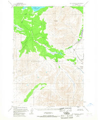
1953 · Mount Katmai B-5
USGS Topo · 1:63,360

1964 · Mt. Katmai
USGS Topo · 1:250,000
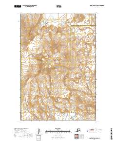
2019 · Mount Katmai A-4 NW
USGS Topo · 1:25,000
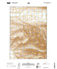
2019 · Mount Katmai A-5 NW
USGS Topo · 1:25,000