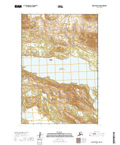
2019 Map of Mount Katmai C-4 NW
USGS Topo · Published 2019About this map
Lake Grosvenor dominates the central landscape of this wilderness survey, spanning the width of the quadrangle as part of the interior water system within Katmai National Park. The terrain is defined by steep elevation changes on either side of the lake, with the land rising sharply from the water's edge into complex ridgelines and summits. The map serves as a primary record of the federal land divisions for the Lake and Peninsula Borough, delineating township and range lines across a region devoid of permanent settlements or modern road infrastructure. This 2019 survey documents the primitive state of the northern park interior, where the natural hydrography and high-latitude topography remain the primary features of interest for researchers and environmental historians.
Find a feature on this map
8 named features on this map. Tap any name to fly to it.
Don’t see what you’re looking for? This feature index may not catch every label — zoom into the map to look around manually.
Map Details
Editions of this 2019 Mount Katmai C-4 NW Map
This is the sole edition of this map. No revisions or reprints were ever made.
Other maps of this area

1948 · Mt Katmai
USGS Topo · 1:250,000

1951 · Mt Katmai
USGS Topo · 1:250,000

1951 · Mount Katmai D-5
USGS Topo · 1:63,360

1951 · Mount Katmai C-5
USGS Topo · 1:63,360

1951 · Mount Katmai C-4
USGS Topo · 1:63,360

1951 · Mount Katmai D-4
USGS Topo · 1:63,360
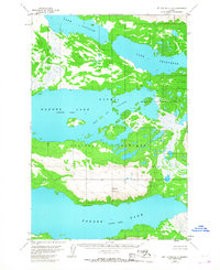
1953 · Mount Katmai C-5
USGS Topo · 1:63,360

1964 · Mt. Katmai
USGS Topo · 1:250,000
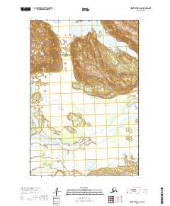
2019 · Mount Katmai C-4 SW
USGS Topo · 1:25,000
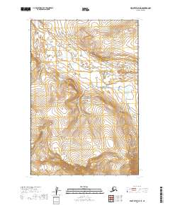
2019 · Mount Katmai D-5 SE
USGS Topo · 1:25,000