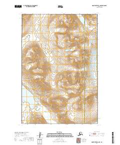
2019 Map of Mount Katmai D-3 NE
USGS Topo · Published 2019About this map
Katmai National Park encompasses the majority of this landscape, revealing a wild expanse where high-altitude ridges meet glacial water bodies. The terrain is defined by dramatic elevation changes, with the northern reaches containing Pirate Lake and the southwestern corner opening into the broad waters of Kulik Lake. This 2019 survey documents the complex hydrological network of the Alaska Peninsula, specifically where the McNeil River flows through the eastern corridor. The map also delineates the administrative boundary between the Lake and Peninsula Borough and the Kenai Peninsula Borough, which cuts north-to-south through the high peaks. This data is essential for understanding the modern preservation boundaries and watershed patterns of this remote interior region.
Find a feature on this map
9 named features on this map. Tap any name to fly to it.
Don’t see what you’re looking for? This feature index may not catch every label — zoom into the map to look around manually.
Map Details
Editions of this 2019 Mount Katmai D-3 NE Map
This is the sole edition of this map. No revisions or reprints were ever made.
Other maps of this area

1948 · Mt Katmai
USGS Topo · 1:250,000

1951 · Mt Katmai
USGS Topo · 1:250,000

1951 · Iliamna A-5
USGS Topo · 1:63,360

1951 · Mount Katmai D-2
USGS Topo · 1:63,360

1951 · Mount Katmai D-3
USGS Topo · 1:63,360

1952 · Iliamna
USGS Topo · 1:250,000

1952 · Iliamna A-5
USGS Topo · 1:63,360

1957 · Iliamna
USGS Topo · 1:250,000

1964 · Mt. Katmai
USGS Topo · 1:250,000
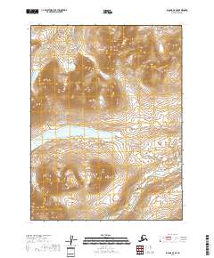
2018 · Iliamna A-5 SE
USGS Topo · 1:25,000