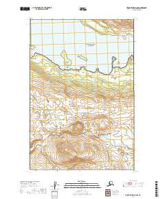
2019 Map of Mount Katmai D-4 NW
USGS Topo · Published 2019About this map
Katmai National Preserve and Katmai National Park divide this wilderness landscape, marking a critical boundary in the Lake and Peninsula Borough. The transition between these two federal jurisdictions is defined by the expansive waters of Nonvianuk Lake in the north and the winding course of American Creek as it drains the interior highlands. Further south, the map identifies Hammersly Lake, situated near the edge of the survey area. This 2019 survey documents the hydrologic patterns and topography of a region dominated by glacial lakes and significant drainage systems, where the terrain rises from the shoreline into the upland interior. The absence of roads or permanent settlements underscores the isolation of these protected lands during the early 21st century.
Find a feature on this map
9 named features on this map. Tap any name to fly to it.
Don’t see what you’re looking for? This feature index may not catch every label — zoom into the map to look around manually.
Map Details
Editions of this 2019 Mount Katmai D-4 NW Map
This is the sole edition of this map. No revisions or reprints were ever made.
Other maps of this area

1948 · Mt Katmai
USGS Topo · 1:250,000

1951 · Mt Katmai
USGS Topo · 1:250,000

1951 · Mount Katmai D-5
USGS Topo · 1:63,360

1951 · Iliamna A-7
USGS Topo · 1:63,360

1951 · Mount Katmai D-4
USGS Topo · 1:63,360

1951 · Iliamna A-6
USGS Topo · 1:63,360

1952 · Iliamna
USGS Topo · 1:250,000

1957 · Iliamna
USGS Topo · 1:250,000

1964 · Mt. Katmai
USGS Topo · 1:250,000
2019 · Mount Katmai D-5 SE
USGS Topo · 1:25,000