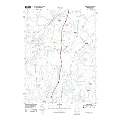
2010 Map of Mount Kisco
USGS Topo · Published 2010About this map
Mount Kisco and Bedford anchor this detailed survey of northern Westchester County and the Connecticut borderlands. The landscape is defined by its sophisticated water management systems, featuring the Byram Lake Reservoir, Wampus Lake Reservoir, and the edge of the New Croton Reservoir. These reservoirs, along with smaller bodies like Heaptaugua Lake and Converse Lake, illustrate the region's historical role in water supply for the metropolitan area. The transportation network is a study in evolution, where the Saw Mill River Pkwy and Railroad Ave cut through a terrain of named hills and large estates.
Find a feature on this map
115 named features on this map. Tap any name to fly to it.
Don’t see what you’re looking for? This feature index may not catch every label — zoom into the map to look around manually.
Map Details
Editions of this 2010 Mount Kisco Map
This is the sole edition of this map. No revisions or reprints were ever made.
Other maps of this area

1892 · Stamford
USGS Topo · 1:62,500

1892 · West Point
USGS Topo · 1:62,500

1892 · Carmel
USGS Topo · 1:62,500

1892 · Tarrytown
USGS Topo · 1:62,500

1893 · Carmel
USGS Topo · 1:62,500

1893 · Stamford
USGS Topo · 1:62,500

1893 · Tarrytown
USGS Topo · 1:62,500

1894 · West Point
USGS Topo · 1:62,500

1894 · Carmel
USGS Topo · 1:62,500

1899 · Stamford
USGS Topo · 1:62,500