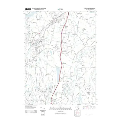
2013 Map of Mount Kisco
USGS Topo · Published 2013About this map
Bedford Hills and the surrounding Westchester County countryside appear here in the early 21st century, defined by a landscape of preserves and residential enclaves. The map traces the corridor of the Saw Mill River Pkwy and Interstate 648, which separate the denser settlements like Kirbyville and Armonk from the more open estate lands to the east. Water management remains a primary feature of the terrain, with the Byram Lake Reservoir and Wampus Lake Reservoir occupying significant valleys. For genealogists, several burial sites are documented, including Union Cem, the Mid Patent Rural Cem, and the historic Old Quaker Burial Ground. The map also captures institutions and recreational landmarks such as Westfield State Farm and the Lakeover National Golf Course, illustrating the region's character as a mix of civic infrastructure and protected open space.
Find a feature on this map
68 named features on this map. Tap any name to fly to it.
Don’t see what you’re looking for? This feature index may not catch every label — zoom into the map to look around manually.
Map Details
Editions of this 2013 Mount Kisco Map
This is the sole edition of this map. No revisions or reprints were ever made.
Other maps of this area

1892 · Stamford
USGS Topo · 1:62,500

1892 · West Point
USGS Topo · 1:62,500

1892 · Carmel
USGS Topo · 1:62,500

1892 · Tarrytown
USGS Topo · 1:62,500

1893 · Carmel
USGS Topo · 1:62,500

1893 · Stamford
USGS Topo · 1:62,500

1893 · Tarrytown
USGS Topo · 1:62,500

1894 · West Point
USGS Topo · 1:62,500

1894 · Carmel
USGS Topo · 1:62,500

1899 · Stamford
USGS Topo · 1:62,500