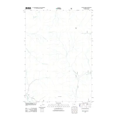
2012 Map of Mount Leidy
USGS Topo · Published 2012About this map
Mount Leidy stands as the central high point in this 2012 survey of the Teton County backcountry, a landscape defined by the intricate headwaters of the Gros Ventre River. The drainage network is particularly dense here, with numerous forks and creeks such as Carmichael Fork, Negrohead Fork, and Horsetail Cr carving through the terrain. To the south, the topographic character shifts toward the Lavender Hills and the Red Hills, where Gros Ventre Rd provides the primary corridor for movement through the river valley. The presence of Toppings Lakes in the northwest and the smaller Leidy Lake tucked near the mountain summit illustrates the high-altitude hydrology of the region. This map serves as a detailed guide to the complex system of alpine tributaries that feed the larger river basins downstream, capturing the remote geography of the Gros Ventre Range.
Find a feature on this map
19 named features on this map. Tap any name to fly to it.
Don’t see what you’re looking for? This feature index may not catch every label — zoom into the map to look around manually.
Map Details
Editions of this 2012 Mount Leidy Map
This is the sole edition of this map. No revisions or reprints were ever made.
Other maps of this area

1899 · Grand Teton
USGS Topo · 1:125,000

1901 · Grand Teton
USGS Topo · 1:125,000

1902 · Mt Leidy
USGS Topo · 1:125,000

1955 · Driggs
USGS Topo · 1:250,000

1958 · Driggs
USGS Topo · 1:250,000

1962 · Driggs
USGS Topo · 1:250,000

1965 · Davis Hill
USGS Topo · 1:24,000

1965 · Green Mountain
USGS Topo · 1:24,000

1965 · Rosies Ridge
USGS Topo · 1:24,000

1965 · Mount Leidy
USGS Topo · 1:24,000