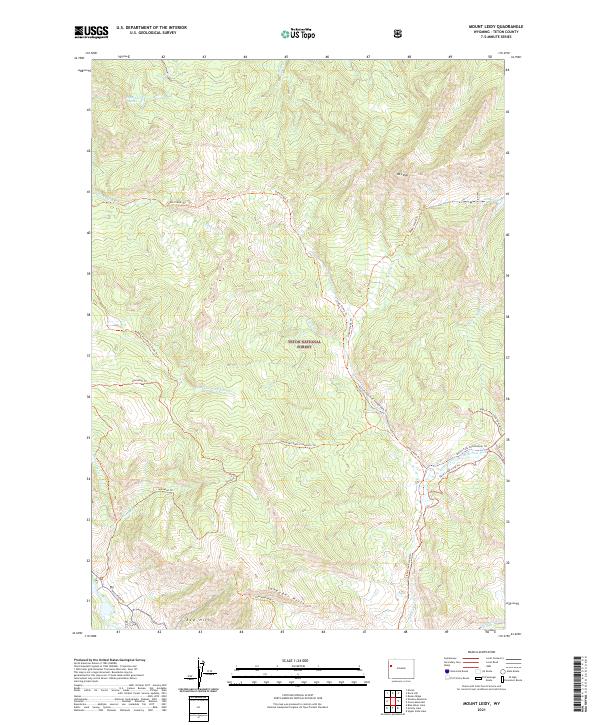
2021 Map of Mount Leidy
USGS Topo · Published 2021About this map
Mt Leidy dominates the northeastern landscape of this high-altitude terrain, providing a dramatic anchor within the Teton National Forest. The map detail reveals a complex network of seasonal access routes and backcountry paths, including the Slate Creek Trl and Horsetail Trl, which navigate the steep drainages of the Red Hills and Lavender Hills. These pathways follow the natural contours of the land, connecting remote water bodies like Toppings Lakes and Leidy Lake to the primary valley floor.
Find a feature on this map
38 named features on this map. Tap any name to fly to it.
Don’t see what you’re looking for? This feature index may not catch every label — zoom into the map to look around manually.
Map Details
Editions of this 2021 Mount Leidy Map
This is the sole edition of this map. No revisions or reprints were ever made.
Other maps of this area

1899 · Grand Teton
USGS Topo · 1:125,000

1901 · Grand Teton
USGS Topo · 1:125,000

1902 · Mt Leidy
USGS Topo · 1:125,000

1955 · Driggs
USGS Topo · 1:250,000

1958 · Driggs
USGS Topo · 1:250,000

1962 · Driggs
USGS Topo · 1:250,000

1965 · Davis Hill
USGS Topo · 1:24,000

1965 · Green Mountain
USGS Topo · 1:24,000

1965 · Rosies Ridge
USGS Topo · 1:24,000

1965 · Mount Leidy
USGS Topo · 1:24,000