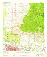
1957 Map of Mount Lemmon
USGS Topo · Published 1959About this map
The Santa Catalina Mts dominate the landscape of the late 1950s, rising sharply above the expanding northern reaches of Tucson. This topographic study details the dramatic transition from the high-altitude settlement at Summerhaven and the high peaks of Mount Lemmon down to the desert floor. In the mountains, hikers and miners frequented the Palisade Trail and Hartman Homestead Mines, while the southern foothills show a burgeoning network of institutions like the Southern Ariz Sch for Boys and the Immaculate Heart Novitiate.
Find a feature on this map
121 named features on this map. Tap any name to fly to it.
Don’t see what you’re looking for? This feature index may not catch every label — zoom into the map to look around manually.
Map Details
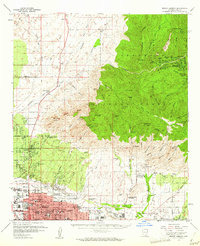
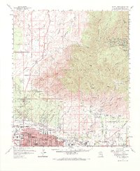
Editions of this 1957 Mount Lemmon Map
3 editions found
Other maps of this area

1904 · Tucson
USGS Topo · 1:125,000

1905 · Tucson
USGS Topo · 1:125,000

1911 · Winkelman
USGS Topo · 1:125,000

1913 · Winkelman
USGS Topo · 1:125,000

1925 · San Xavier
USGS Topo · 1:62,500

1934 · Tucson Mountains
USGS Topo · 1:125,000

1934 · Newman Peak
USGS Topo · 1:125,000

1943 · San Xavier Mission
USGS Topo · 1:62,500

1947 · Cortaro
USGS Topo · 1:62,500

1948 · Tucson
USGS Topo · 1:62,500