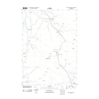
2012 Map of Mount Mansfield
USGS Topo · Published 2012About this map
Mount Mansfield Chin anchors this high-elevation landscape within the Green Mountains, where the 2012 topography reveals a high concentration of recreational and alpine features. The map documents the high-country infrastructure of the era, from backcountry shelters like Taft Lodge and Butler Lodge to the Mount Mansfield Ski Area and Spruce Peak Ski Area. The dramatic pass at Smugglers Notch is flanked by distinctive landforms including Old Smugglers Face and Elephants Head.
Find a feature on this map
88 named features on this map. Tap any name to fly to it.
Don’t see what you’re looking for? This feature index may not catch every label — zoom into the map to look around manually.
Map Details
Editions of this 2012 Mount Mansfield Map
This is the sole edition of this map. No revisions or reprints were ever made.
Other maps of this area

1919 · Montpelier
USGS Topo · 1:62,500

1921 · Richmond
USGS Topo · 1:48,000

1921 · Montpelier
USGS Topo · 1:62,500

1924 · Camels Hump
USGS Topo · 1:62,500

1925 · Mount Mansfield
USGS Topo · 1:48,000

1927 · Mount Mansfield
USGS Topo · 1:62,500

1927 · Hyde Park
USGS Topo · 1:48,000

1930 · Hyde Park
USGS Topo · 1:62,500
1943 · Hyde Park
USGS Topo · 1:62,500

1944 · Montpelier
USGS Topo · 1:62,500