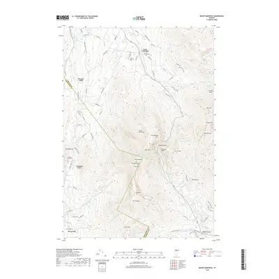
2018 Map of Mount Mansfield
USGS Topo · Published 2018About this map
Mt Mansfield and the high ridge of the Green Mountains dominate this survey, marking the dramatic boundary between Chittenden Co and Lamoille Co. The topography defines the settlement patterns below the peaks, with Underhill Center and Pleasant Valley tucked against the western slopes while Stowe Fork lies to the southeast. A network of local routes, including Route 108, navigates the gap at Smugglers Notch, passing beneath landmarks like Elephants Head and Old Smugglers Face.
Find a feature on this map
86 named features on this map. Tap any name to fly to it.
Don’t see what you’re looking for? This feature index may not catch every label — zoom into the map to look around manually.
Map Details
Editions of this 2018 Mount Mansfield Map
This is the sole edition of this map. No revisions or reprints were ever made.
Other maps of this area

1919 · Montpelier
USGS Topo · 1:62,500

1921 · Richmond
USGS Topo · 1:48,000

1921 · Montpelier
USGS Topo · 1:62,500

1924 · Camels Hump
USGS Topo · 1:62,500

1925 · Mount Mansfield
USGS Topo · 1:48,000

1927 · Mount Mansfield
USGS Topo · 1:62,500

1927 · Hyde Park
USGS Topo · 1:48,000

1930 · Hyde Park
USGS Topo · 1:62,500
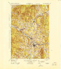
1943 · Hyde Park
USGS Topo · 1:62,500

1944 · Montpelier
USGS Topo · 1:62,500