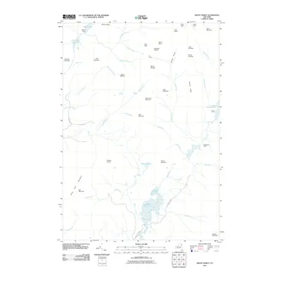
2010 Map of Mount Marcy
USGS Topo · Published 2010About this map
Mount Marcy dominates this high-elevation landscape within Adirondack Park, surrounded by a complex network of peaks and drainage basins. The area serves as a primary watershed, where the Opalescent River and Boreas River begin their descent through the mountains. To the east, Upper Ausable Lake is marked by Marcy Landing, indicating a point of access in an otherwise roadless terrain.
Find a feature on this map
59 named features on this map. Tap any name to fly to it.
Don’t see what you’re looking for? This feature index may not catch every label — zoom into the map to look around manually.
Map Details
Editions of this 2010 Mount Marcy Map
This is the sole edition of this map. No revisions or reprints were ever made.
Other maps of this area

1895 · Mt. Marcy
USGS Topo · 1:62,500

1897 · Schroon Lake
USGS Topo · 1:62,500

1898 · Newcomb
USGS Topo · 1:62,500

1901 · Newcomb
USGS Topo · 1:62,500

1902 · Mt. Marcy
USGS Topo · 1:62,500

1904 · Santanoni
USGS Topo · 1:62,500

1948 · Ogdensburg
USGS Topo · 1:250,000

1950 · Glens Falls
USGS Topo · 1:250,000

1950 · Lake Champlain
USGS Topo · 1:250,000

1950 · Utica
USGS Topo · 1:250,000