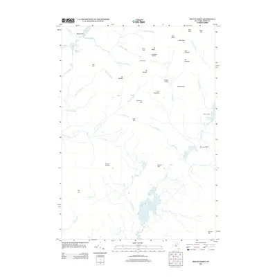
2013 Map of Mount Marcy
USGS Topo · Published 2013About this map
Mt Marcy and the high summits of the Adirondacks dominate this 2013 survey of the Keene area. The landscape is defined by its water system, with the Opalescent River flowing near Lake Colden and the Flowed Lands, while the Boreas Ponds anchor the southern portion of the sheet. High-altitude landmarks like the Four Corners and Panther Gorge illustrate the complex geography between Mt Haystack and Mt Skylight. The map documents the primitive access points of the region, including Marcy Landing at Upper Ausable Lake. Unlike maps of developed regions, this document records a nearly unsettled wilderness, where named features are exclusively natural landforms, water bodies, or remote landmarks like Slant Rock and Hanging Spear Falls.
Find a feature on this map
53 named features on this map. Tap any name to fly to it.
Don’t see what you’re looking for? This feature index may not catch every label — zoom into the map to look around manually.
Map Details
Editions of this 2013 Mount Marcy Map
This is the sole edition of this map. No revisions or reprints were ever made.
Other maps of this area

1895 · Mt. Marcy
USGS Topo · 1:62,500

1897 · Schroon Lake
USGS Topo · 1:62,500

1898 · Newcomb
USGS Topo · 1:62,500

1901 · Newcomb
USGS Topo · 1:62,500

1902 · Mt. Marcy
USGS Topo · 1:62,500

1904 · Santanoni
USGS Topo · 1:62,500

1948 · Ogdensburg
USGS Topo · 1:250,000

1950 · Glens Falls
USGS Topo · 1:250,000

1950 · Lake Champlain
USGS Topo · 1:250,000

1950 · Utica
USGS Topo · 1:250,000