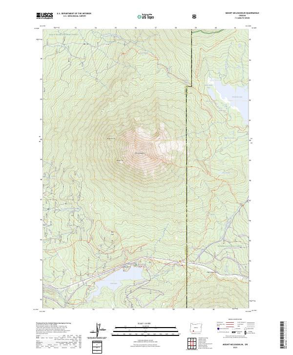
2023 Map of Mount McLoughlin
USGS Topo · Published 2023About this map
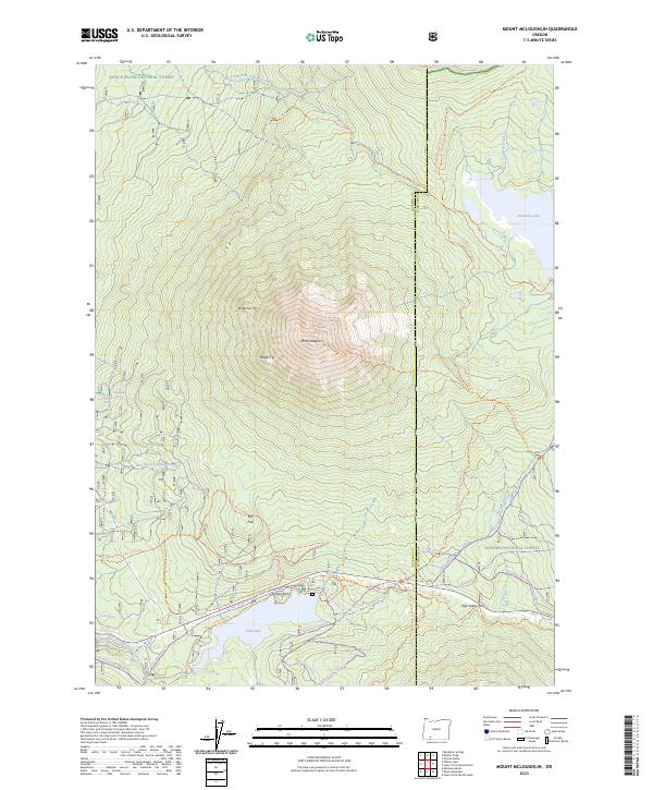
Mt McLoughlin dominates this high-altitude landscape in the Southern Cascades, where the borders of the Rogue River National Forest, Winema National Forest, and Sky Lakes Wilderness converge. This 2023 survey illustrates a sophisticated network of seasonal recreation and water management, including the Cascade Canal and the extensive Pacific Crest National Scenic Trl winding through the eastern portion. The terrain is defined by volcanic peaks like Wilamxa Tip and Maalsi Tip, alongside significant alpine water bodies such as Fish Lake and Fourmile Lake. Lower elevations feature the open Rye Flat and multiple equestrian and winter trails, such as the Willow Prairie Loop Trl and various Nordic routes. This modern record details the intersection of conservation boundaries and the heavy infrastructure required for recreation and resource management in the high Cascades.
Find a feature on this map
57 named features on this map. Tap any name to fly to it.
Don’t see what you’re looking for? This feature index may not catch every label — zoom into the map to look around manually.
Map Details
Editions of this 2023 Mount McLoughlin Map
2 editions found
Other maps of this area

1891 · Ashland
USGS Topo · 1:250,000

1893 · Ashland
USGS Topo · 1:250,000

1897 · Ashland
USGS Topo · 1:250,000

1955 · Lake O' Woods
USGS Topo · 1:62,500

1955 · Rustler Peak
USGS Topo · 1:62,500

1955 · Mt. Mc Loughlin
USGS Topo · 1:62,500

1955 · Pelican Butte
USGS Topo · 1:62,500

1955 · Medford
USGS Topo · 1:250,000

1957 · Medford
USGS Topo · 1:250,000

1958 · Medford
USGS Topo · 1:250,000