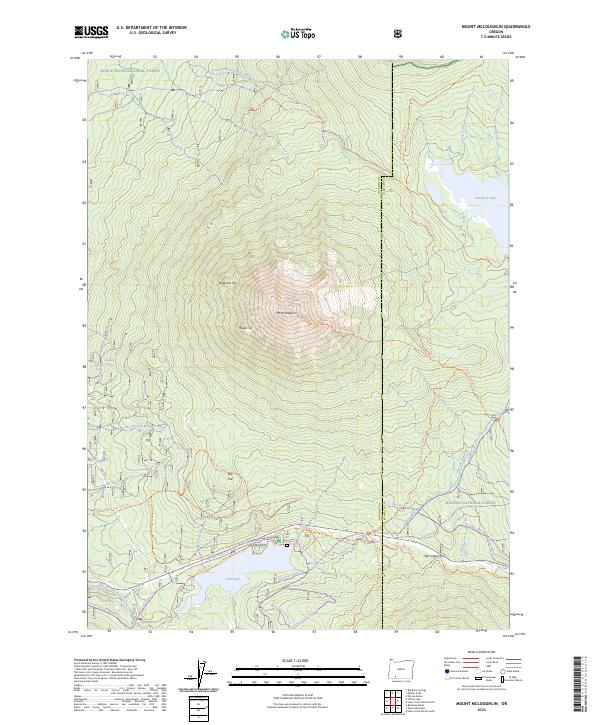
2023 Map of Mount McLoughlin
USGS Topo · Published 2023About this map
Mt McLoughlin dominates this landscape on the boundary between Jackson and Klamath counties, anchoring a region of high-elevation peaks and alpine lakes. The mountain itself, historically identified as Wilámxa Tip and Máalsi Tip, is surrounded by a dense network of recreational and logistical infrastructure, including the Pacific Crest National Scenic Trl and the Mt McLoughlin Trl. To the south, Fish Lake serves as a hub for seasonal activity, supported by the Doe Point Campground and a complex system of winter use paths like the Peppermint Nordic Trl and Candy Cane Nordic Trl. The map also captures the Cascade Canal, illustrating the management of water resources across the Sky Lakes Wilderness and Winema National Forest. Localized features such as Rye Flat, Rye Spring, and Bourbon Spring provide specific points of interest for those tracing the history of resource use and land management in the Oregon Cascades.
Find a feature on this map
58 named features on this map. Tap any name to fly to it.
Don’t see what you’re looking for? This feature index may not catch every label — zoom into the map to look around manually.
Map Details
Editions of this 2023 Mount McLoughlin Map
2 editions found
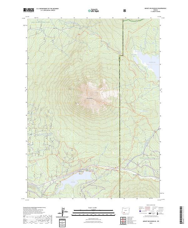
Other maps of this area

1891 · Ashland
USGS Topo · 1:250,000

1893 · Ashland
USGS Topo · 1:250,000

1897 · Ashland
USGS Topo · 1:250,000

1955 · Lake O' Woods
USGS Topo · 1:62,500

1955 · Rustler Peak
USGS Topo · 1:62,500

1955 · Mt. Mc Loughlin
USGS Topo · 1:62,500

1955 · Pelican Butte
USGS Topo · 1:62,500

1955 · Medford
USGS Topo · 1:250,000

1957 · Medford
USGS Topo · 1:250,000

1958 · Medford
USGS Topo · 1:250,000