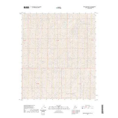
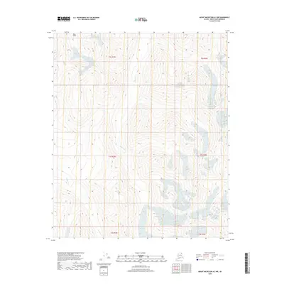
2023 Map of Mount Michelson A-3 SE
USGS Topo · Published 2023About this map
Arctic National Wildlife Refuge encompasses the northern reach of this landscape, a protected expanse within the Brooks Range. The southern portion of the map is designated as the Mollie Beattie Wilderness, named for the first female director of the United States Fish and Wildlife Service. This 2023 survey by the U.S. Geological Survey illustrates the transition of high-latitude terrain through precise contour lines and Public Land Survey System divisions, including Township 4 South, Range 28 East and Township 5 South, Range 29 East. The absence of roads or permanent settlements highlights the character of this protected wilderness at the northern edge of the continent.
Find a feature on this map
7 named features on this map. Tap any name to fly to it.
Don’t see what you’re looking for? This feature index may not catch every label — zoom into the map to look around manually.
Map Details
Editions of this 2023 Mount Michelson A-3 SE Map
This is the sole edition of this map. No revisions or reprints were ever made.
Other maps of this area

1951 · Arctic
USGS Topo · 1:250,000

1951 · Mt. Michelson
USGS Topo · 1:250,000

1956 · Arctic
USGS Topo · 1:250,000

1956 · Mt. Michelson
USGS Topo · 1:250,000

1983 · Mount Michelson A-3
USGS Topo · 1:63,360

1983 · Mount Michelson A-2
USGS Topo · 1:63,360
1983 · Arctic D-2
USGS Topo · 1:63,360
1983 · Arctic D-3
USGS Topo · 1:63,360
2018 · Arctic D-2 NW
USGS Topo · 1:25,000
2018 · Mount Michelson A-2 NW
USGS Topo · 1:25,000