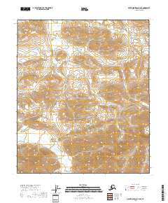
2018 Map of Mount Michelson A-5 SE
USGS Topo · Published 2018About this map
The Echooka River meanders through the isolated landscape of Alaska's North Slope, carving a path through the northern reaches of the Brooks Range. Joining it is Juniper Cr, a tributary that weaves through the expansive tundra and permafrost of the North Slope Borough. This region, characterized by its remote wilderness and lack of permanent settlements, is defined by its complex hydrology and the total absence of developed infrastructure. The map meticulously documents the intricate network of streams and the subtle variations in elevation within the Arctic National Wildlife Refuge. For researchers or conservationists, the level of detail provided offers a clear picture of the undisturbed natural state of this Alaskan frontier, where hydrological features like Juniper Cr are central to understanding the region's environmental health and the natural drainage patterns of the Arctic slope.
Find a feature on this map
7 named features on this map. Tap any name to fly to it.
Don’t see what you’re looking for? This feature index may not catch every label — zoom into the map to look around manually.
Map Details
Editions of this 2018 Mount Michelson A-5 SE Map
This is the sole edition of this map. No revisions or reprints were ever made.
Other maps of this area

1951 · Arctic
USGS Topo · 1:250,000

1951 · Mt. Michelson
USGS Topo · 1:250,000

1956 · Arctic
USGS Topo · 1:250,000

1956 · Mt. Michelson
USGS Topo · 1:250,000
1971 · Arctic D-5
USGS Topo · 1:63,360
1971 · Mount Michelson A-5
USGS Topo · 1:63,360
1983 · Mount Michelson A-4
USGS Topo · 1:63,360
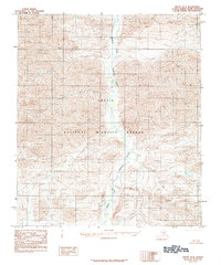
1983 · Arctic D-4
USGS Topo · 1:63,360
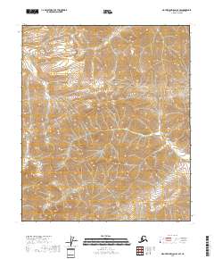
2018 · Mount Michelson A-4 SW
USGS Topo · 1:25,000
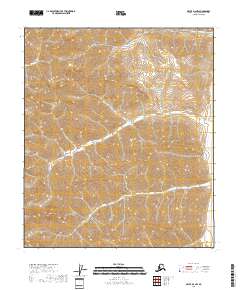
2018 · Arctic D-4 NW
USGS Topo · 1:25,000