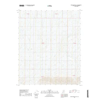
2018 Map of Mount Michelson C-4 NE
USGS Topo · Published 2018About this map
Tamayariak River threads through this remote expanse of the North Slope, providing a primary drainage feature for the surrounding wetlands and tundra. The landscape is defined by vast tracts of marshy ground and subtle topographic variations, typical of the coastal plain environment. The southern portion of the area rises toward Red Hill, a rare named topographic prominence that stands out against the low-lying terrain to the north. This 2018 survey reveals the complex drainage patterns of the region, where numerous small seasonal ponds and braided waterways are shaped by the permafrost and seasonal cycles of the Arctic coastal environment.
Find a feature on this map
8 named features on this map. Tap any name to fly to it.
Don’t see what you’re looking for? This feature index may not catch every label — zoom into the map to look around manually.
Map Details
Editions of this 2018 Mount Michelson C-4 NE Map
This is the sole edition of this map. No revisions or reprints were ever made.
Other maps of this area

1951 · Mt. Michelson
USGS Topo · 1:250,000

1955 · Mount Michelson C-3
USGS Topo · 1:63,360

1955 · Mount Michelson D-3
USGS Topo · 1:63,360

1955 · Mount Michelson C-4
USGS Topo · 1:63,360

1955 · Mount Michelson D-4
USGS Topo · 1:63,360

1956 · Mt. Michelson
USGS Topo · 1:250,000

1975 · Mount Michelson C-3
USGS Topo · 1:63,360

1978 · Mount Michelson C-4
USGS Topo · 1:63,360
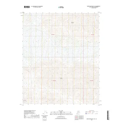
2018 · Mount Michelson C-4 SE
USGS Topo · 1:25,000
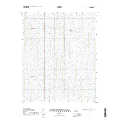
2018 · Mount Michelson D-4 SE
USGS Topo · 1:25,000