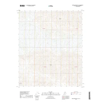
2018 Map of Mount Michelson C-4 SE
USGS Topo · Published 2018About this map
Sadlerochit Mountains and the Shupelik Mountains dominate this North Slope terrain, separated by a high-altitude valley where the headwaters of Nanook Cr originate. The 2018 survey reveals a landscape of high summits and glacial drainage patterns, anchored in the southwest by Mt Copleston. In the northeast, the Tamayariak River cuts a distinct path through the topography, joined by tributaries such as Iqiek Cr and Blue Cr. This remote Alaskan environment is characterized by its dramatic elevation changes and a dense network of seasonal watercourses, showing the intricate hydrologic relationship between the interior mountain ranges and the coastal plains to the north.
Find a feature on this map
11 named features on this map. Tap any name to fly to it.
Don’t see what you’re looking for? This feature index may not catch every label — zoom into the map to look around manually.
Map Details
Editions of this 2018 Mount Michelson C-4 SE Map
This is the sole edition of this map. No revisions or reprints were ever made.
Other maps of this area

1951 · Mt. Michelson
USGS Topo · 1:250,000

1955 · Mount Michelson C-3
USGS Topo · 1:63,360

1955 · Mount Michelson C-4
USGS Topo · 1:63,360

1956 · Mt. Michelson
USGS Topo · 1:250,000

1956 · Mount Michelson B-3
USGS Topo · 1:63,360

1975 · Mount Michelson C-3
USGS Topo · 1:63,360

1978 · Mount Michelson C-4
USGS Topo · 1:63,360
1983 · Mount Michelson B-4
USGS Topo · 1:63,360
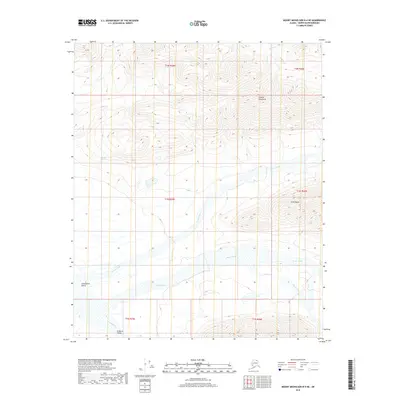
2018 · Mount Michelson B-4 NE
USGS Topo · 1:25,000
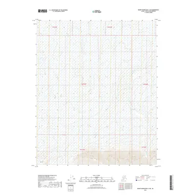
2018 · Mount Michelson C-4 NE
USGS Topo · 1:25,000