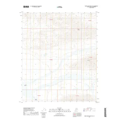
2018 Map of Mount Michelson B-4 NE
USGS Topo · Published 2018About this map
The Canning River flows through the southwestern corner of this Arctic terrain, marking a significant drainage point within the Ikiakpuk Valley. The landscape is dominated by the prominent peaks of the Shublik Mountains and the Third Range, which define the northern and central elevations. Several major waterways branch across the territory, including the winding paths of Eagle Creek, Cache Creek, and Nanook Cr. This 2018 survey reveals a wilderness devoid of modern infrastructure, where geographic identity is tied strictly to natural features like Shublik Spring and the long expanse of the Ikiakpaurak Valley. Geologists and researchers can trace the complex hydrologic network formed by smaller tributaries such as Curve Creek as they descend from the high ridgelines toward the coastal plain.
Find a feature on this map
17 named features on this map. Tap any name to fly to it.
Don’t see what you’re looking for? This feature index may not catch every label — zoom into the map to look around manually.
Map Details
Editions of this 2018 Mount Michelson B-4 NE Map
This is the sole edition of this map. No revisions or reprints were ever made.
Other maps of this area

1951 · Mt. Michelson
USGS Topo · 1:250,000

1955 · Mount Michelson C-3
USGS Topo · 1:63,360

1955 · Mount Michelson C-4
USGS Topo · 1:63,360

1956 · Mt. Michelson
USGS Topo · 1:250,000

1956 · Mount Michelson B-3
USGS Topo · 1:63,360

1975 · Mount Michelson C-3
USGS Topo · 1:63,360

1978 · Mount Michelson C-4
USGS Topo · 1:63,360
1983 · Mount Michelson B-4
USGS Topo · 1:63,360
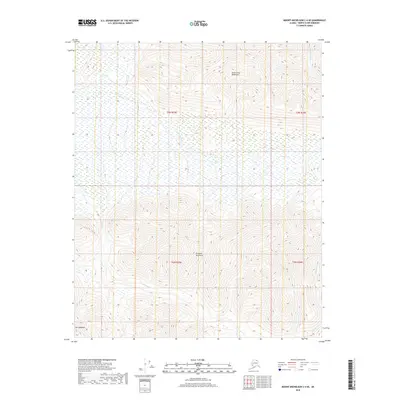
2018 · Mount Michelson C-4 SE
USGS Topo · 1:25,000
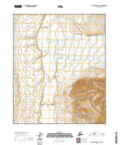
2018 · Mount Michelson C-4 SW
USGS Topo · 1:25,000