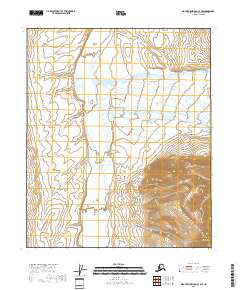
2018 Map of Mount Michelson C-4 SW
USGS Topo · Published 2018About this map
The Canning River carves a broad path through the northern landscape of the North Slope, shaping the wide Canning Valley. This 2018 survey captures a remote wilderness defined by braided river systems and the stark transition from valley floors to high peaks. In the southeastern corner, Mt Copleston rises sharply, overlooking the confluence of smaller tributaries. The map details the drainage patterns of Nanook Creek and Ignek Cr, which flow through the Ignek Valley to join the main river channel. Within the Canning's shifting course, Black Island stands as a distinct landform amidst the alluvial deposits. This cartographic study illustrates the complex hydrology of the Arctic coastal plain fringe, where seasonal melt and glacial history dictate the shape of the land long before any permanent infrastructure reached these latitudes.
Find a feature on this map
13 named features on this map. Tap any name to fly to it.
Don’t see what you’re looking for? This feature index may not catch every label — zoom into the map to look around manually.
Map Details
Editions of this 2018 Mount Michelson C-4 SW Map
This is the sole edition of this map. No revisions or reprints were ever made.
Other maps of this area

1951 · Mt. Michelson
USGS Topo · 1:250,000

1955 · Mount Michelson C-5
USGS Topo · 1:63,360

1955 · Mount Michelson C-4
USGS Topo · 1:63,360

1956 · Mt. Michelson
USGS Topo · 1:250,000
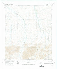
1971 · Mount Michelson B-5
USGS Topo · 1:63,360
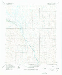
1973 · Mount Michelson C-5
USGS Topo · 1:63,360

1978 · Mount Michelson C-4
USGS Topo · 1:63,360
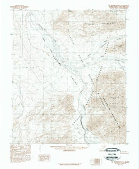
1983 · Mount Michelson B-4
USGS Topo · 1:63,360
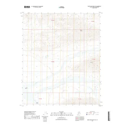
2018 · Mount Michelson B-4 NE
USGS Topo · 1:25,000
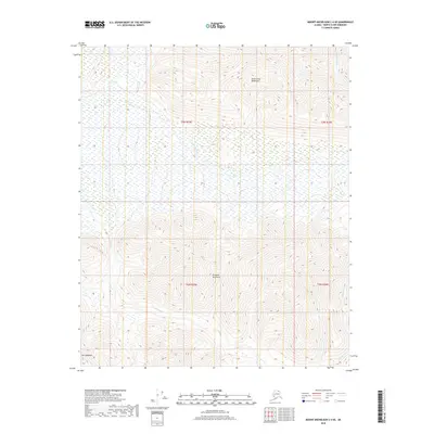
2018 · Mount Michelson C-4 SE
USGS Topo · 1:25,000