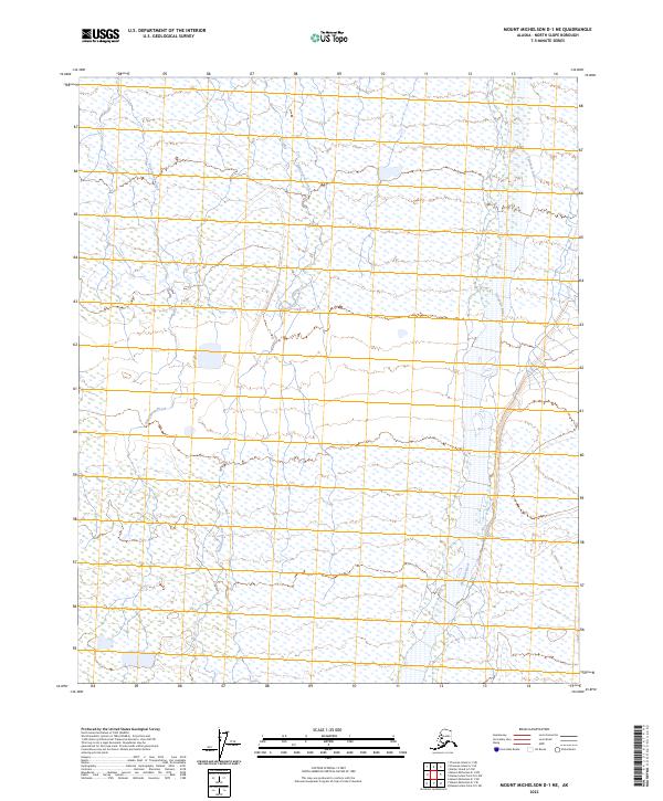
2023 Map of Mount Michelson D-1 NE
USGS Topo · Published 2023About this map
Arctic National Wildlife Refuge lands dominate this northern Alaskan landscape, where a complex network of wetlands and braided waterways defines the North Slope terrain. The Hulahula River flows northward through the eastern portion of the quadrangle, serving as a primary drainage for the surrounding tundra. This river system is flanked by multiple smaller tributaries, including Katakshak Creek and Natararoak Creek, which reveal the intricate drainage patterns characteristic of this remote arctic environment. The absence of roads or permanent settlements within the survey area emphasizes the preserved wilderness of the region. Detailed hydrography and elevation contours provide a precise look at the low-lying coastal plain and the subtle shifts in terrain that direct the seasonal movement of water across the refuge.
Find a feature on this map
9 named features on this map. Tap any name to fly to it.
Don’t see what you’re looking for? This feature index may not catch every label — zoom into the map to look around manually.
Map Details
Editions of this 2023 Mount Michelson D-1 NE Map
This is the sole edition of this map. No revisions or reprints were ever made.
Other maps of this area

1951 · Barter Island
USGS Topo · 1:250,000

1951 · Demarcation Point
USGS Topo · 1:250,000

1951 · Mt. Michelson
USGS Topo · 1:250,000

1955 · Flaxman Island
USGS Topo · 1:250,000

1955 · Demarcation Point
USGS Topo · 1:250,000

1955 · Flaxman Island A-1
USGS Topo · 1:63,360

1955 · Barter Island A-5
USGS Topo · 1:63,360

1955 · Mount Michelson D-1
USGS Topo · 1:63,360

1955 · Demarcation Point D-5
USGS Topo · 1:63,360

1956 · Mt. Michelson
USGS Topo · 1:250,000