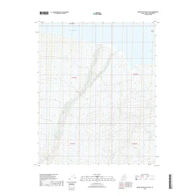
2018 Map of Mount Michelson D-2 NW
USGS Topo · Published 2018About this map
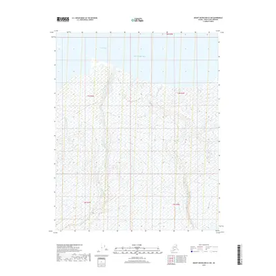
The Katakturuk River meanders across this northern landscape, depositing sediment into the cold waters of the Beaufort Sea. This 2018 survey by the U.S. Geological Survey captures a stretch of the Arctic coast where the river meets the tide near Collinson Point. The terrain is defined by low-lying coastal wetlands and the sheltered waters of Simpson Cove, illustrating the delicate transition between the river's braided drainage and the open sea. While the map is dominated by these natural water systems, it also provides the modern Public Land Survey System grid, including townships t7n r28e and t7n r29e, which organize this remote coastal segment of the North Slope Borough.
Find a feature on this map
9 named features on this map. Tap any name to fly to it.
Don’t see what you’re looking for? This feature index may not catch every label — zoom into the map to look around manually.
Map Details
Editions of this 2018 Mount Michelson D-2 NW Map
This is the sole edition of this map. No revisions or reprints were ever made.
Other maps of this area

1951 · Mt. Michelson
USGS Topo · 1:250,000

1955 · Flaxman Island
USGS Topo · 1:250,000

1955 · Mount Michelson D-3
USGS Topo · 1:63,360

1955 · Mount Michelson D-2
USGS Topo · 1:63,360

1955 · Flaxman Island A-3
USGS Topo · 1:63,360

1956 · Mt. Michelson
USGS Topo · 1:250,000
2018 · Flaxman Island A-3 SE
USGS Topo · 1:25,000
2018 · Mount Michelson D-2 SW
USGS Topo · 1:25,000
2018 · Mount Michelson D-2 SE
USGS Topo · 1:25,000
2018 · Mount Michelson D-2 NE
USGS Topo · 1:25,000