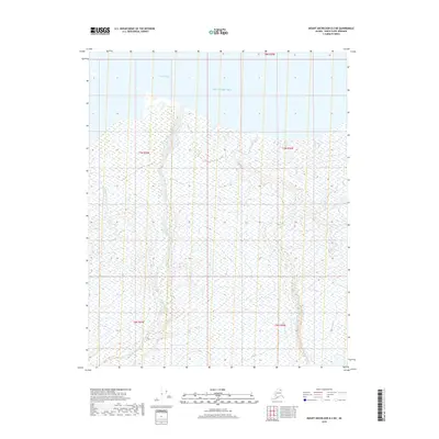
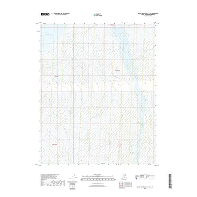
2018 Map of Mount Michelson D-2 NE
USGS Topo · Published 2018About this map
Beaufort Sea waters meet the northern Alaskan coastline along Camden Bay, where the shoreline is defined by intricate wetlands and tidal flats. The interior landscape is dominated by the braided course of the Katakturuk River, which flows northward across the coastal plain. This 2018 survey reveals a terrain shaped by Arctic drainage patterns, with the smaller channels of Marsh Cr and Carter Cr carving through the tundra. The absence of roads or permanent settlements underscores the isolation of this portion of the North Slope, where the land is primarily characterized by its hydrographic features and the vast sweep of the Beaufort shelf. Public land survey divisions such as t7n r30e and t6n r29e provide the only formal human overlay on this remote coastal environment.
Find a feature on this map
10 named features on this map. Tap any name to fly to it.
Don’t see what you’re looking for? This feature index may not catch every label — zoom into the map to look around manually.
Map Details
Editions of this 2018 Mount Michelson D-2 NE Map
This is the sole edition of this map. No revisions or reprints were ever made.
Other maps of this area

1951 · Mt. Michelson
USGS Topo · 1:250,000

1955 · Flaxman Island
USGS Topo · 1:250,000

1955 · Flaxman Island A-1
USGS Topo · 1:63,360

1955 · Mount Michelson D-2
USGS Topo · 1:63,360

1955 · Mount Michelson D-1
USGS Topo · 1:63,360

1956 · Mt. Michelson
USGS Topo · 1:250,000
1962 · Flaxman Island A-1
USGS Topo · 1:50,000
1962 · Mt. Michelson D-1
USGS Topo · 1:50,000
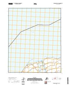
2018 · Flaxman Island A-1 SW
USGS Topo · 1:25,000
2018 · Mount Michelson D-1 NW
USGS Topo · 1:25,000