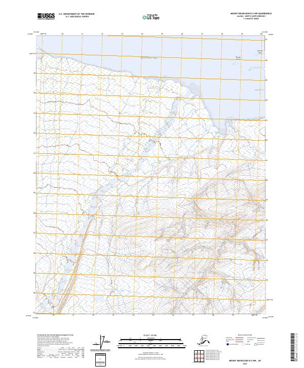
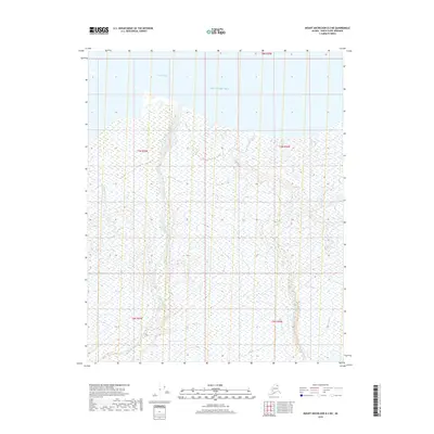
2023 Map of Mount Michelson D-2 NW
USGS Topo · Published 2023About this map
The Arctic National Wildlife Refuge dominates this northern landscape, where the tundra meets the icy waters of the Beaufort Sea. The terrain is defined by the winding course of the Katakturuk River, which flows northward through the refuge toward the coast. Along the shoreline, geographic features such as Collinson Point and Simpson Cove provide the few named landmarks in this remote stretch of the North Slope. Beyond the immediate coast, the maritime hazards of Boulder Shoals suggest the navigational challenges once faced by early vessels exploring these arctic waters. This 2023 survey serves as a precise modern record of the hydrologic and topographic character of the refuge before it reaches the sea.
Find a feature on this map
11 named features on this map. Tap any name to fly to it.
Don’t see what you’re looking for? This feature index may not catch every label — zoom into the map to look around manually.
Map Details
Editions of this 2023 Mount Michelson D-2 NW Map
This is the sole edition of this map. No revisions or reprints were ever made.
Other maps of this area

1951 · Mt. Michelson
USGS Topo · 1:250,000

1955 · Flaxman Island
USGS Topo · 1:250,000

1955 · Mount Michelson D-3
USGS Topo · 1:63,360

1955 · Mount Michelson D-2
USGS Topo · 1:63,360

1955 · Flaxman Island A-3
USGS Topo · 1:63,360

1956 · Mt. Michelson
USGS Topo · 1:250,000
2018 · Flaxman Island A-3 SE
USGS Topo · 1:25,000
2018 · Mount Michelson D-2 SW
USGS Topo · 1:25,000
2018 · Mount Michelson D-2 SE
USGS Topo · 1:25,000
2018 · Mount Michelson D-2 NE
USGS Topo · 1:25,000