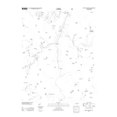
2013 Map of Mount Mitchell
USGS Topo · Published 2013About this map
Pensacola and the Cane River valley anchor this 2013 study of Yancey County's steep topography. The landscape is defined by its ridge-and-valley structure, where small settlements like Murchison and Eskota follow the narrow habitable corridors along the river's path. In the north, the Mountain Air Airport occupies a prominent high-elevation site on Callaway Mountain, illustrating the modern adaptation of infrastructure to the Appalachian terrain. To the south, the terrain rises toward the Black Mountains, with Camp Alice and the Blue Sea Falls indicating the recreational and natural significance of the high ridges. Local history is etched into the landscape through features like Cattail Creek Community and numerous family-named landmarks such as Ogle Ridge and Turkey Ridge. The map captures a contemporary snapshot of a region where modern development, represented by subdivisions like Kroons Cir, exists alongside traditional mountain communities and the wilder reaches of Grassy Knob Ridge.
Find a feature on this map
132 named features on this map. Tap any name to fly to it.
Don’t see what you’re looking for? This feature index may not catch every label — zoom into the map to look around manually.
Map Details
Editions of this 2013 Mount Mitchell Map
This is the sole edition of this map. No revisions or reprints were ever made.
Other maps of this area

1900 · Mount Mitchell
USGS Topo · 1:125,000

1902 · Mount Mitchell
USGS Topo · 1:125,000

1934 · Micaville
USGS Topo · 1:24,000

1934 · Parts Of Celo And Black Brothers
USGS Topo · 1:24,000

1934 · Parts Of Old Fort and Montreat
USGS Topo · 1:24,000

1935 · Montreat
USGS Topo · 1:24,000

1935 · Black Brothers
USGS Topo · 1:24,000

1935 · Burnsville
USGS Topo · 1:24,000

1935 · Bald Creek
USGS Topo · 1:24,000

1935 · Barnardsville
USGS Topo · 1:24,000