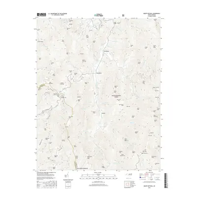
2016 Map of Mount Mitchell
USGS Topo · Published 2016About this map
Pensacola and Murchison sit along the winding course of the Cane River, serving as small gateways to the high-elevation wilderness within the Pisgah National Forest. The landscape is defined by steep ridges and dramatic gaps, where small family cemeteries like the Allen Cem, Burleson Cem, and Penland Cem are preserved on the lower slopes near the water. The southern edge of the map is traced by the Blue Ridge Parkway, which follows the divide between Yancey and Buncombe counties. This proximity to the state's highest peaks is evident in the numerous creek systems, including Cattail Cr and Mitchell Cr, which feed the river. Notable landmarks like the Mountain Air Airport provide a stark contrast to the surrounding natural terrain of Slickrock Mtn and Point Misery, highlighting how modern infrastructure has been carefully integrated into this complex mountain geography.
Find a feature on this map
113 named features on this map. Tap any name to fly to it.
Don’t see what you’re looking for? This feature index may not catch every label — zoom into the map to look around manually.
Map Details
Editions of this 2016 Mount Mitchell Map
This is the sole edition of this map. No revisions or reprints were ever made.
Other maps of this area

1900 · Mount Mitchell
USGS Topo · 1:125,000

1902 · Mount Mitchell
USGS Topo · 1:125,000

1934 · Micaville
USGS Topo · 1:24,000

1934 · Parts Of Celo And Black Brothers
USGS Topo · 1:24,000

1934 · Parts Of Old Fort and Montreat
USGS Topo · 1:24,000

1935 · Montreat
USGS Topo · 1:24,000

1935 · Black Brothers
USGS Topo · 1:24,000

1935 · Burnsville
USGS Topo · 1:24,000

1935 · Bald Creek
USGS Topo · 1:24,000

1935 · Barnardsville
USGS Topo · 1:24,000