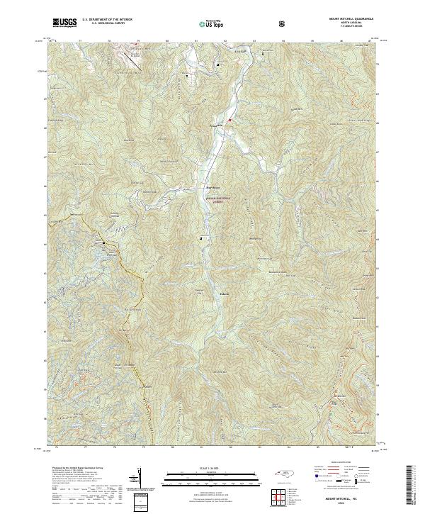
2022 Map of Mount Mitchell
USGS Topo · Published 2022About this map
The Black Mountains dominate this landscape, culminating at the summit of Mt Mitchell, the highest peak in the eastern United States. This detailed topographic study traces the high-altitude drainage systems of the Cane River and Cattail Cr, illustrating how the steep terrain dictates human settlement in the valleys below. Small communities like Pensacola and Murchison sit at the feet of massive ridgelines including Winter Star Ridge and Grassy Ridge. Local history is preserved in numerous family-named burial grounds such as Ray Cem and Penland Cem, which dot the lower elevations. The map also documents modern aviation infrastructure with the Mountain Air Airport perched atop Callaway Mtn. Trails like the Black Mtn Crest Trl and Buncombe Horse Trl provide access through the Pisgah National Forest, following the high crests past Mt Craig and Potato Hill.
Find a feature on this map
130 named features on this map. Tap any name to fly to it.
Don’t see what you’re looking for? This feature index may not catch every label — zoom into the map to look around manually.
Map Details
Editions of this 2022 Mount Mitchell Map
This is the sole edition of this map. No revisions or reprints were ever made.
Other maps of this area

1900 · Mount Mitchell
USGS Topo · 1:125,000

1902 · Mount Mitchell
USGS Topo · 1:125,000

1934 · Micaville
USGS Topo · 1:24,000

1934 · Parts Of Celo And Black Brothers
USGS Topo · 1:24,000

1934 · Parts Of Old Fort and Montreat
USGS Topo · 1:24,000

1935 · Montreat
USGS Topo · 1:24,000

1935 · Black Brothers
USGS Topo · 1:24,000

1935 · Burnsville
USGS Topo · 1:24,000

1935 · Bald Creek
USGS Topo · 1:24,000

1935 · Barnardsville
USGS Topo · 1:24,000