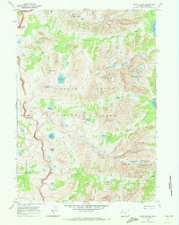
1968 Map of Mount Moran
USGS Topo · Published 1973About this map
Grand Teton National Park dominates this late-1960s topographic study, showcasing a high-altitude landscape of ice and stone before the modern era of backcountry management. The sheet is defined by the massive presence of Mount Moran, flanked by the Triple Glaciers, Skillet Glacier, and Falling Ice Glacier. These ice bodies represent a critical snapshot of the Teton Range's glacial extent during this period. For those tracing the history of alpine recreation, the map documents established routes like the Paintbrush Divide Trail and the remote Cascade Ranger Sta. The topography transitions from the waters of Moran Bay on Jackson Lake through deep incisions like Leigh Canyon and Valhalla Canyon. Unique markers such as The Wigwams and Symmetry Spire provide reference points for climbers and surveyors, while the western edge reveals the boundary with Targhee National Forest along the drainage of North Fork Teton Creek.
Find a feature on this map
55 named features on this map. Tap any name to fly to it.
Don’t see what you’re looking for? This feature index may not catch every label — zoom into the map to look around manually.
Map Details
Editions of this 1968 Mount Moran Map
2 editions found
Other maps of this area

1899 · Grand Teton
USGS Topo · 1:125,000

1901 · Grand Teton
USGS Topo · 1:125,000

1955 · Driggs
USGS Topo · 1:250,000

1958 · Driggs
USGS Topo · 1:250,000

1962 · Driggs
USGS Topo · 1:250,000
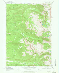
1968 · Granite Basin
USGS Topo · 1:24,000

1968 · Moose
USGS Topo · 1:24,000
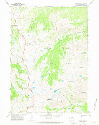
1968 · Ranger Peak
USGS Topo · 1:24,000
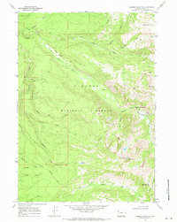
1968 · Rammel Mountain
USGS Topo · 1:24,000
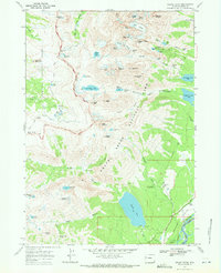
1968 · Grand Teton
USGS Topo · 1:24,000