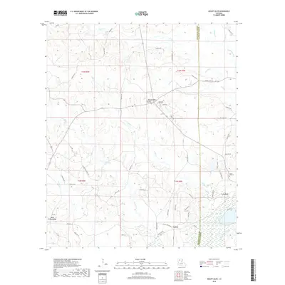
2018 Map of Mount Olive
USGS Topo · Published 2018About this map
Mount Olive and the surrounding piney woods of North Louisiana are documented here as they appeared in 2018. This section of Bienville and Jackson Parishes is defined by its numerous small waterways, including Choctaw Creek and the southern flow of the Dugdemona River. The settlement pattern is largely rural, with local hubs at English, Lakefield, and New Friendship connected by a network of parish roads such as Danville Road and Sand Hill Road. Evidence of family history and community life is visible in the placement of the West Mount Olive and East Mount Olive cemeteries, as well as Walnut Ridge Cemetery in the eastern portion of the sheet. The landscape is also marked by industrial activity, noted by the Eog Resources 2 site, which sits among the drainages of Caney Creek and Bear Creek.
Find a feature on this map
60 named features on this map. Tap any name to fly to it.
Don’t see what you’re looking for? This feature index may not catch every label — zoom into the map to look around manually.
Map Details
Editions of this 2018 Mount Olive Map
This is the sole edition of this map. No revisions or reprints were ever made.
Other maps of this area

1947 · Goldonna
USGS Topo · 1:62,500

1947 · Bienville
USGS Topo · 1:62,500

1949 · Bienville
USGS Topo · 1:62,500

1949 · Jonesboro
USGS Topo · 1:62,500

1950 · Jonesboro
USGS Topo · 1:62,500

1953 · Hodge
USGS Topo · 1:62,500

1955 · Shreveport
USGS Topo · 1:250,000

1956 · Shreveport
USGS Topo · 1:250,000

1957 · Goldonna
USGS Topo · 1:62,500

1984 · Shreveport
USGS Topo · 1:250,000