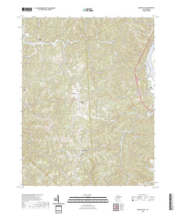
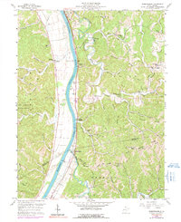
2023 Map of Mount Olive
USGS Topo · Published 2023About this map
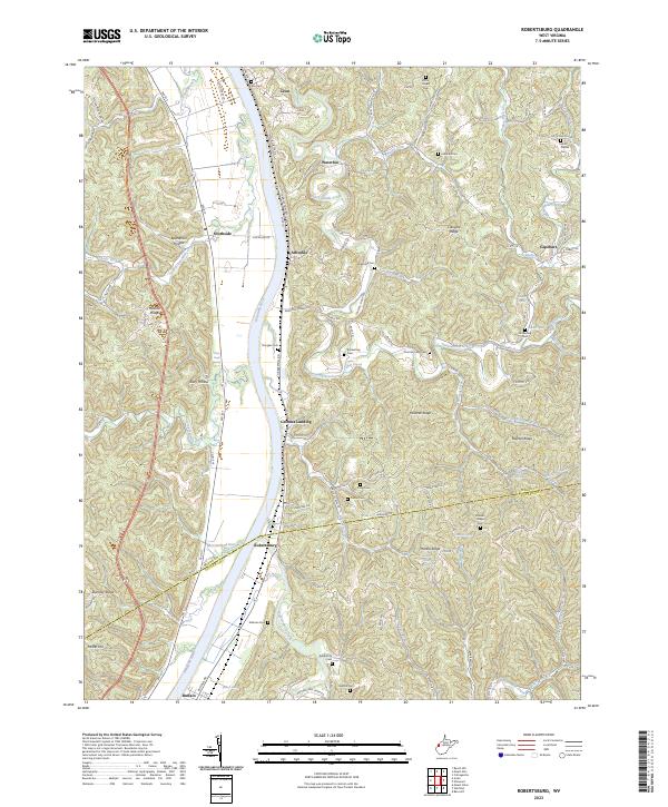
Mount Olive and Upland anchor this rural landscape where the boundaries of Mason and Putnam Counties converge. The terrain is defined by a dense network of drainages including Eighteenmile Creek and Five and Twenty Mile Creek, which feed toward the Kanawha River visible along the eastern edge. Local genealogy is well-preserved through numerous family and community sites, such as the Fraziers Bottom United Methodists Church and several small burying grounds like Mount Zion Cem and Evergreen Cem. The map illustrates the upland settlement patterns of West Virginia, where homes and churches like Staten Chapel are perched atop ridges such as Whitten Ridge and Dry Ridge, connected by winding routes like Palestine Road and Balls Chapel Road.
Find a feature on this map
112 named features on this map. Tap any name to fly to it.
Don’t see what you’re looking for? This feature index may not catch every label — zoom into the map to look around manually.
Map Details
Editions of this 2023 Mount Olive Map
This is the sole edition of this map. No revisions or reprints were ever made.
Historical Maps of Upland Through Time
14 maps found

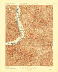
1906 Glenwood
Mason County, WV
1908 Glenwood
Mason County, WV
1957 Beech Hill
Mason County, WV
1958 Arlee
Mason County, WV
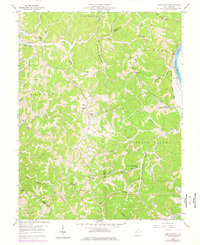
1958 Mount Alto
Mason County, WV
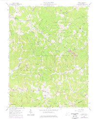
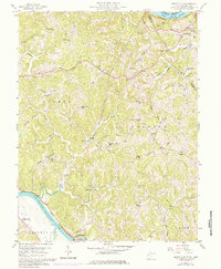
1958 Mount Olive
Mason County, WV
1958 Robertsburg
Mason County, WV
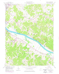
1977 Robertsburg
Mason County, WV
1994 Mount Alto
Mason County, WV
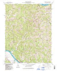
2023 Arlee
Mason County, WV
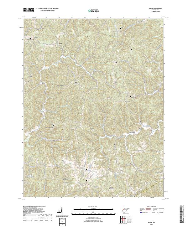
2023 Beech Hill
Mason County, WV
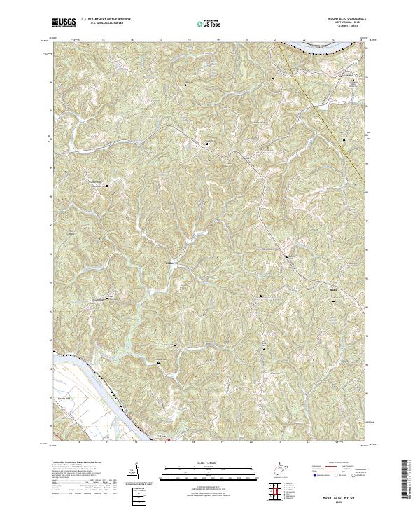
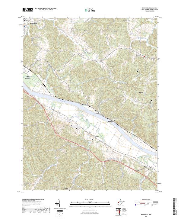
2023 Mount Alto
Mason County, WV
2023 Mount Olive
Mason County, WV
2023 Robertsburg
Mason County, WV