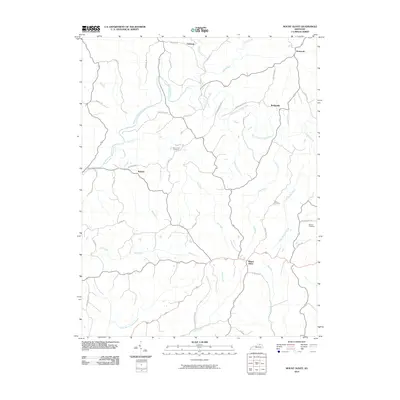
2010 Map of Mount Olivet
USGS Topo · Published 2010About this map
Mount Olivet serves as the focal point for this Robertson County landscape, where the North Fork Licking River meanders through a network of creeks and rural homesteads. The terrain is defined by its deep drainages, including Salt Lick, Mud Lick, and Bee Lick, which have historically dictated the placement of early settlements and ridge-top roads. Small communities such as Bratton, Bridgeville, and Oakland are connected by a web of historic routes like Parina Pike and Old Germantown Rd. Local family history is preserved in several burial grounds, including the Old Corinth Cemetery, Day Cemetery, and Henson Cemetery. The map reflects a long-standing agricultural pattern, with narrow bottomlands and winding ridgeline corridors that connect the dispersed rural population to the county seat.
Find a feature on this map
48 named features on this map. Tap any name to fly to it.
Don’t see what you’re looking for? This feature index may not catch every label — zoom into the map to look around manually.
Map Details
Editions of this 2010 Mount Olivet Map
This is the sole edition of this map. No revisions or reprints were ever made.
Other maps of this area

1915 · Maysville
USGS Topo · 1:62,500

1919 · Maysville
USGS Topo · 1:62,500

1952 · Cowan
USGS Topo · 1:24,000

1952 · Germantown
USGS Topo · 1:24,000

1952 · Sardis
USGS Topo · 1:24,000

1952 · Mount Olivet
USGS Topo · 1:24,000

1952 · Piqua
USGS Topo · 1:24,000

1952 · Berlin
USGS Topo · 1:24,000

1952 · Shady Nook
USGS Topo · 1:24,000

1952 · Brooksville
USGS Topo · 1:24,000