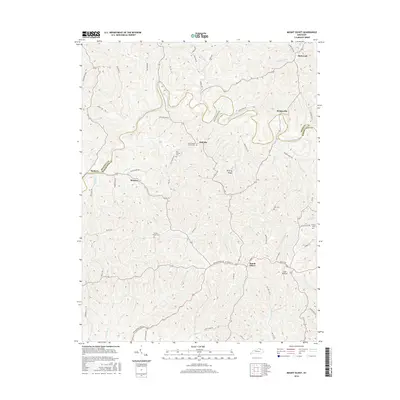
2016 Map of Mount Olivet
USGS Topo · Published 2016About this map
Mount Olivet serves as the focal point for this survey of the northern Kentucky landscape, where the town grid meets a network of ridge roads and deep drainage valleys. The winding North Fork Licking River carves a complex path across the center of the sheet, joined by smaller tributaries like Salt Lick and Panther Cr. The map's high concentration of family and community burial sites, including the Old Corinth Cem, New Corinth Church Cem, and Fosters Chapel Cem, provides a detailed record of the region's rural genealogy.
Find a feature on this map
73 named features on this map. Tap any name to fly to it.
Don’t see what you’re looking for? This feature index may not catch every label — zoom into the map to look around manually.
Map Details
Editions of this 2016 Mount Olivet Map
This is the sole edition of this map. No revisions or reprints were ever made.
Other maps of this area

1915 · Maysville
USGS Topo · 1:62,500

1919 · Maysville
USGS Topo · 1:62,500

1952 · Cowan
USGS Topo · 1:24,000

1952 · Germantown
USGS Topo · 1:24,000

1952 · Sardis
USGS Topo · 1:24,000

1952 · Mount Olivet
USGS Topo · 1:24,000

1952 · Piqua
USGS Topo · 1:24,000

1952 · Berlin
USGS Topo · 1:24,000

1952 · Shady Nook
USGS Topo · 1:24,000

1952 · Brooksville
USGS Topo · 1:24,000