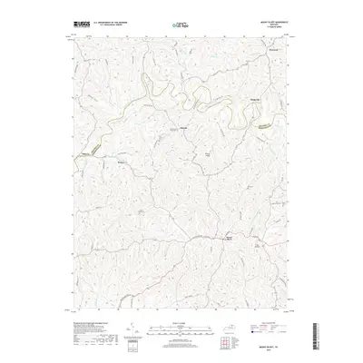
2019 Map of Mount Olivet
USGS Topo · Published 2019About this map
Mount Olivet serves as the primary hub of this landscape where the North Fork Licking River carves a winding path through northern Kentucky. The terrain is defined by a dense network of ridges and hollows, such as the prominent Brierly Ridge and the distinctively named Cow Hollow. This area, split by the Bracken Co Robertson Co boundary, maintains a dispersed settlement pattern with small community centers like Hittville, Bratton, and Bridgeville connected by winding ridge roads.
Find a feature on this map
74 named features on this map. Tap any name to fly to it.
Don’t see what you’re looking for? This feature index may not catch every label — zoom into the map to look around manually.
Map Details
Editions of this 2019 Mount Olivet Map
This is the sole edition of this map. No revisions or reprints were ever made.
Other maps of this area

1915 · Maysville
USGS Topo · 1:62,500

1919 · Maysville
USGS Topo · 1:62,500

1952 · Cowan
USGS Topo · 1:24,000

1952 · Germantown
USGS Topo · 1:24,000

1952 · Sardis
USGS Topo · 1:24,000

1952 · Mount Olivet
USGS Topo · 1:24,000

1952 · Piqua
USGS Topo · 1:24,000

1952 · Berlin
USGS Topo · 1:24,000

1952 · Shady Nook
USGS Topo · 1:24,000

1952 · Brooksville
USGS Topo · 1:24,000