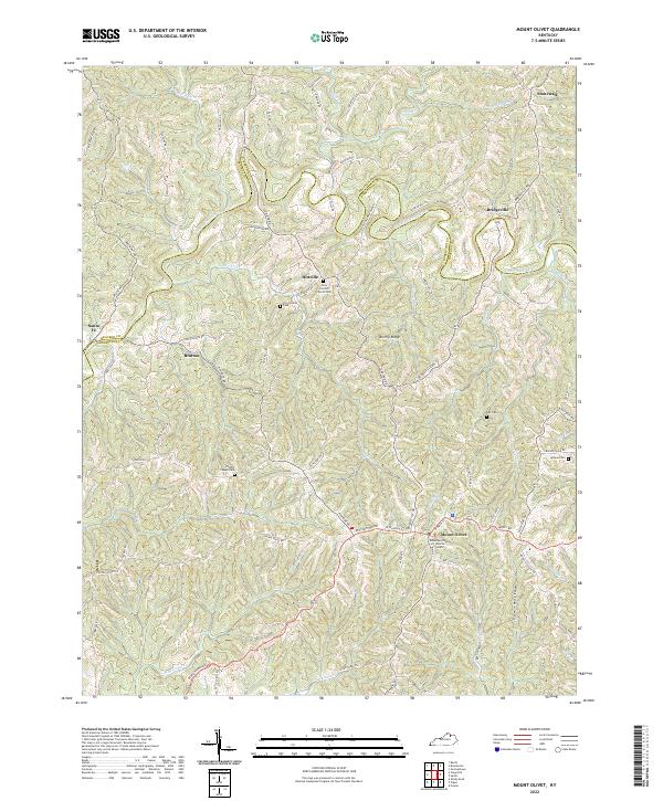
2022 Map of Mount Olivet
USGS Topo · Published 2022About this map
Mount Olivet serves as the focal point of this rural Kentucky landscape, situated at the junction of several historic routes including Pinhook Rd and W Walnut St. The map illustrates a deeply dissected terrain characterized by high ridges like Brierly Ridge and numerous winding waterways such as the North Fork Licking River and Salt Lick. This area in Robertson and Bracken Counties is dotted with small, historically significant settlements like Hittville, Stonewall, and Bratton.
Find a feature on this map
85 named features on this map. Tap any name to fly to it.
Don’t see what you’re looking for? This feature index may not catch every label — zoom into the map to look around manually.
Map Details
Editions of this 2022 Mount Olivet Map
This is the sole edition of this map. No revisions or reprints were ever made.
Other maps of this area

1915 · Maysville
USGS Topo · 1:62,500

1919 · Maysville
USGS Topo · 1:62,500

1952 · Cowan
USGS Topo · 1:24,000

1952 · Germantown
USGS Topo · 1:24,000

1952 · Sardis
USGS Topo · 1:24,000

1952 · Mount Olivet
USGS Topo · 1:24,000

1952 · Piqua
USGS Topo · 1:24,000

1952 · Berlin
USGS Topo · 1:24,000

1952 · Shady Nook
USGS Topo · 1:24,000

1952 · Brooksville
USGS Topo · 1:24,000