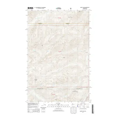
2014 Map of Mount Olson
USGS Topo · Published 2014About this map
Mt Olson and the high summits of the Olympic Mountains dominate this high-altitude landscape along the border of Jefferson and Mason counties. Within the protected boundaries of Olympic National Park and the Olympic National Forest, the terrain is defined by a series of numbered drainages, including Five Stream and Six Stream, that feed into the larger river systems. The map illustrates the hydrological divide where the western slopes drain via the Quinault River while the southern and eastern aspects feed the S Fork Skokomish River and the N-Fork Skokomish River.
Find a feature on this map
24 named features on this map. Tap any name to fly to it.
Don’t see what you’re looking for? This feature index may not catch every label — zoom into the map to look around manually.
Map Details
Editions of this 2014 Mount Olson Map
This is the sole edition of this map. No revisions or reprints were ever made.
Other maps of this area

1921 · Satsop
USGS Topo · 1:62,500

1938 · Mt Constance
USGS Topo · 1:125,000

1947 · Mt. Steel
USGS Topo · 1:62,500

1947 · Mt Christie
USGS Topo · 1:62,500

1950 · Mt Christie
USGS Topo · 1:62,500

1950 · Mt. Steel
USGS Topo · 1:62,500

1953 · Mt Tebo
USGS Topo · 1:62,500

1955 · Grisdale
USGS Topo · 1:62,500

1958 · Seattle
USGS Topo · 1:250,000

1962 · Seattle
USGS Topo · 1:250,000